The year 1827 was a pretty important one in Tazewell County history for the simple reason that prior to that year, there was no such thing as “Tazewell County.” As we’ve related here previously, the Illinois General Assembly created Tazewell County on Jan. 31, 1827, prior to which the land that would become Tazewell County was included in Peoria County, and prior to that was a part of Sangamon County.
When Tazewell County was founded, the state of Illinois itself was only about eight years old. It was on Dec. 3, 1818, that Congress admitted Illinois to the union. Before that date, Illinois had “territorial” status under the administration of the federal government. The territory of Illinois was formally established by Congress on March 1, 1809, and it included not only to the future state of Illinois but also included the entirety of Wisconsin, the western half of Michigan’s Upper Peninsula, and the northeast third of Minnesota.
These facts are important to keep in mind when studying the earliest periods of Tazewell County’s history, because until 1827 those periods are Tazewell County’s “prehistory.” Thus, while Charles C. Chapman’s 1879 “History of Tazewell County” identifies William Blanchard and Nathan Dillon as the first white American settlers of Tazewell County, in fact Blanchard and Dillon settled in what was then Sangamon County.
The changing jurisdictional boundaries in those early years mean that a historian or genealogist researching lands or families in the future Tazewell County during the years from 1809 to 1827, or even after 1827, might find some of the relevant documents in Tazewell County, but many others will be found in Springfield – whether because the documents always have been stored there or (as is sometimes the case) were subsequently moved to the state archives for safekeeping. A knowledge of the changes in Illinois’ territorial and county boundaries is essential for interpreting early records – for example, an 1810 document mentioning a location in “Illinois” might really be talking about Wisconsin, or a family living in eastern Tazewell County in 1828 will have been living in what is now McLean County.
The Pekin Public Library’s Local History Room collection contains several publications that can help researchers and students of history obtain a better understanding of the wider historical trends that shaped the early history and development of Illinois and Tazewell County. One item in particular is an extensive compilation of official government documents and papers of the territorial government of Illinois from the years 1814-1818, just prior to Illinois’ statehood. This book, compiled and edited by Clarence E. Carter, is volume XVII in a series titled “The Territorial Papers of the United States.”
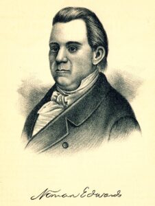
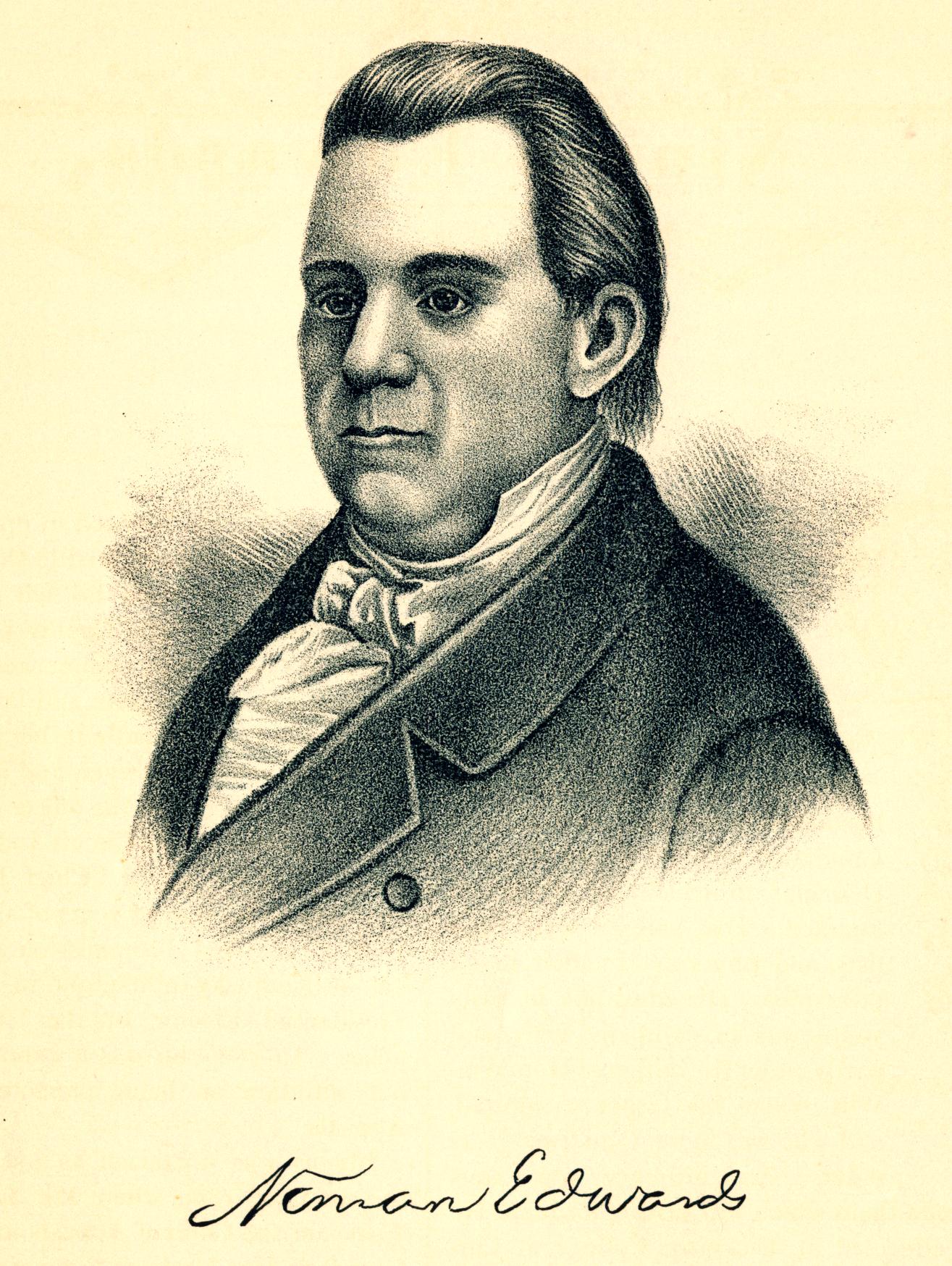
These papers cover the last four years of the administration of Territorial Governor Ninian Edwards, who was the only territorial governor of Illinois and who would later be elected the third state governor of Illinois in 1826. The documents present Edwards’ policies as territorial governor following the War of 1812, when the territorial and federal government laid the final groundwork making possible the opening of Illinois to extensive and systematic settlement and development by white Americans.
Gov. Edwards also figures in Tazewell County’s “prehistory,” as we’ve noted here before, due to his leading a raid on a Kickapoo village in what is today East Peoria during the War of 1812.


