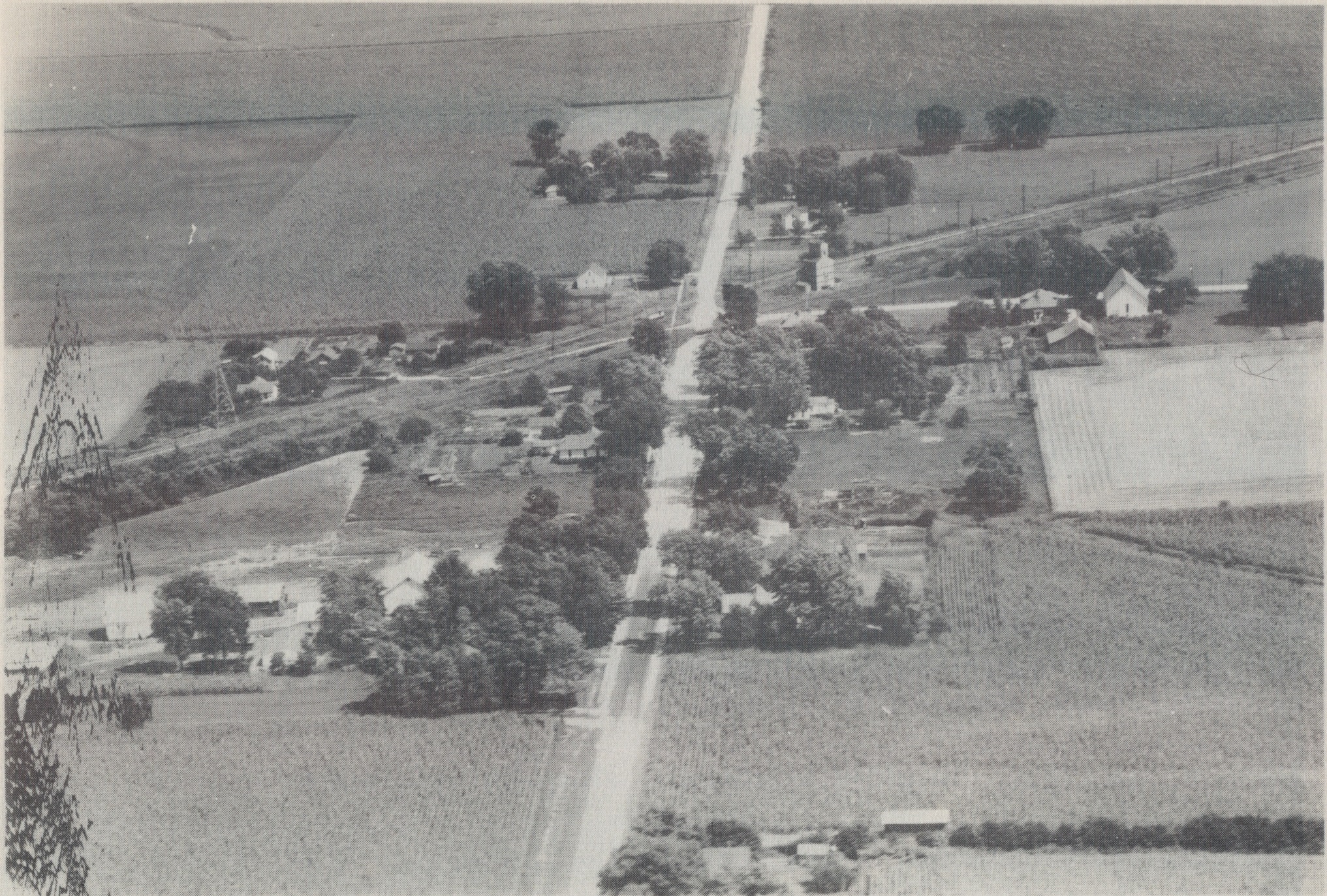
One of Tazewell County’s older unincorporated communities has a history that reaches back to the county’s pioneer days: the farming hamlet of Allentown, situated at the intersection of Allentown Road (County Road 1600N) and Uhlman Road (County Road 2825E) in northeastern Tremont Township.
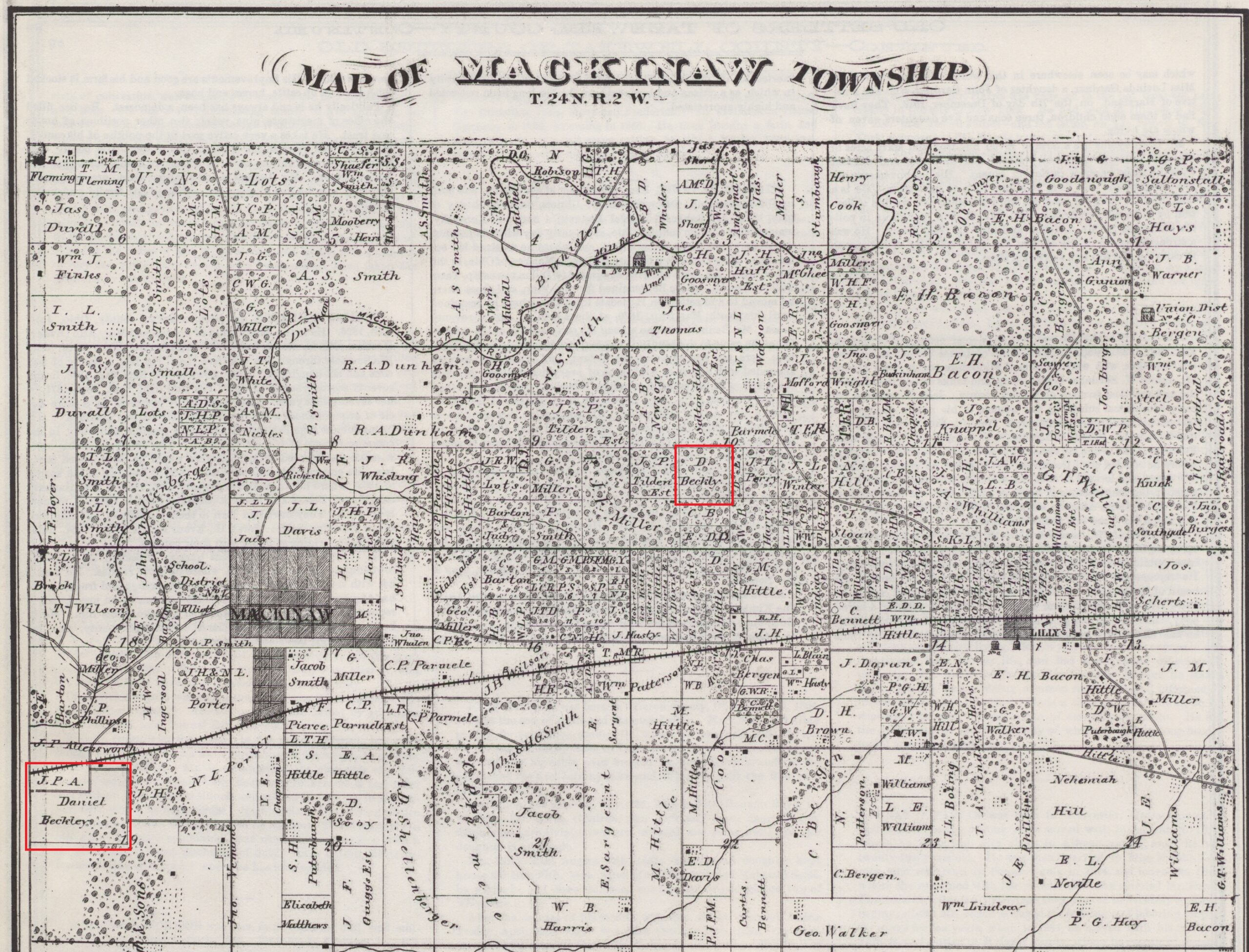
John Drury’s “This is Tazewell County, Illinois” (1954), page 210, offers this brief, partly erroneous, description of Allentown: “A village in Mackinaw Township is Allentown, with a population of 83. It is on the Pennsylvania and Illinois Terminal railroads. The village is located northwest of Mackinaw.”

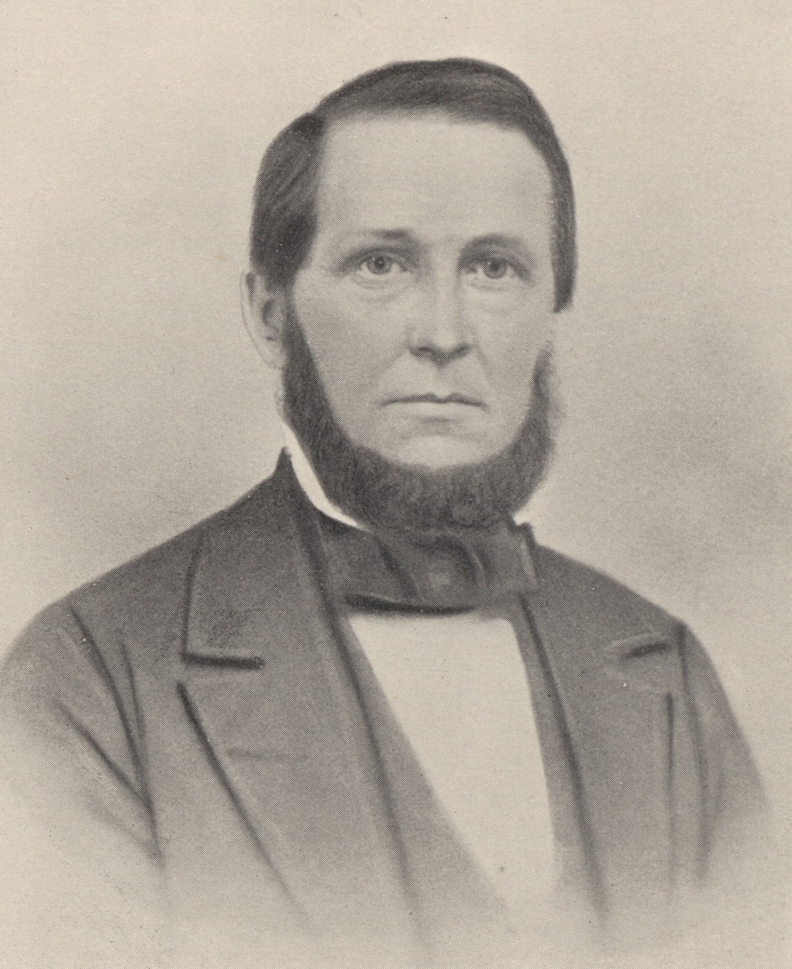
In fact Allentown has always been in Tremont Township, though it is much closer to Mackinaw than to Tremont. The hamlet takes its name from a pioneer farmer of Tremont Township named Edward James Allen (1810-1889), whose impressive grave monument may be seen in Mackinaw Township Cemetery. Allen is buried there along with his wife Henrietta (Brown) Allen (1809-1906) and their sons, U.S. Army Corporal Harrison “Harry” Allen, who fell sick in 1863 while stationed with his regiment at Cairo, Ill., during the Civil War, and Harry’s younger brother Seth L. Allen, who inherited the Allen place after his father’s death.
Old Tazewell County plat maps mark the Allen farm as early as 1864. Prior to his migration to Tazewell County, Edward Allen, a New Jersey native, settled for a while in Miami County, Ohio, where his son Harry was born. Charles C. Chapman’s “History of Tazewell County,” page 661, shows that Edward Allen served as Tremont Township Supervisor from 1863 to 1865, then was re-elected Township Supervisor in 1867.
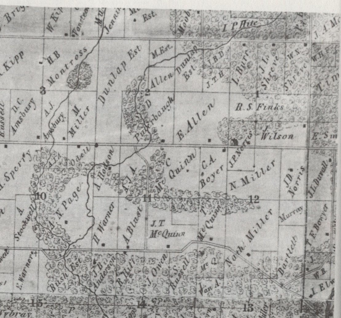
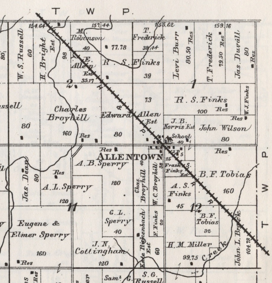
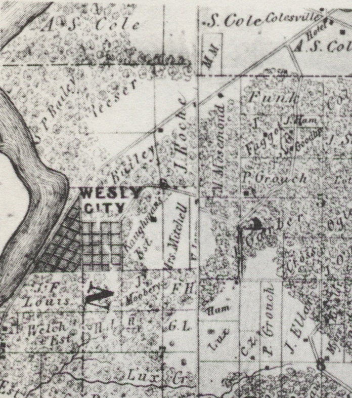
An 1864 wall plat map indicates that a country school house was located adjacent to Allen’s Tremont Township farm, at a spot now close to the center of Allentown. The 1873 Atlas Map of Tazewell County shows that school as the township’s School House No. 3.
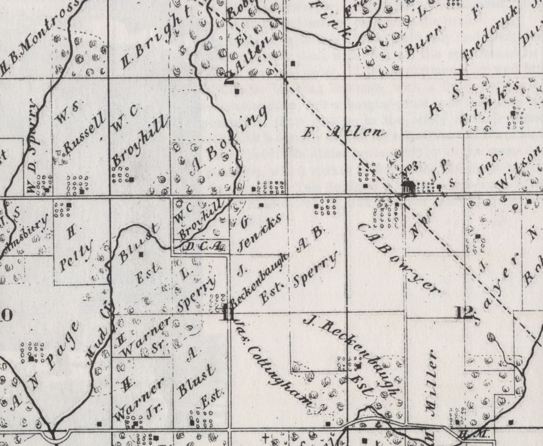
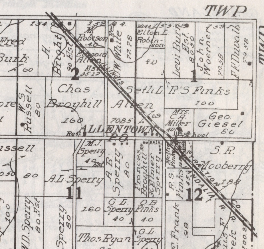
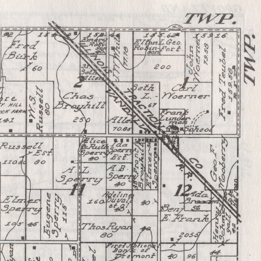
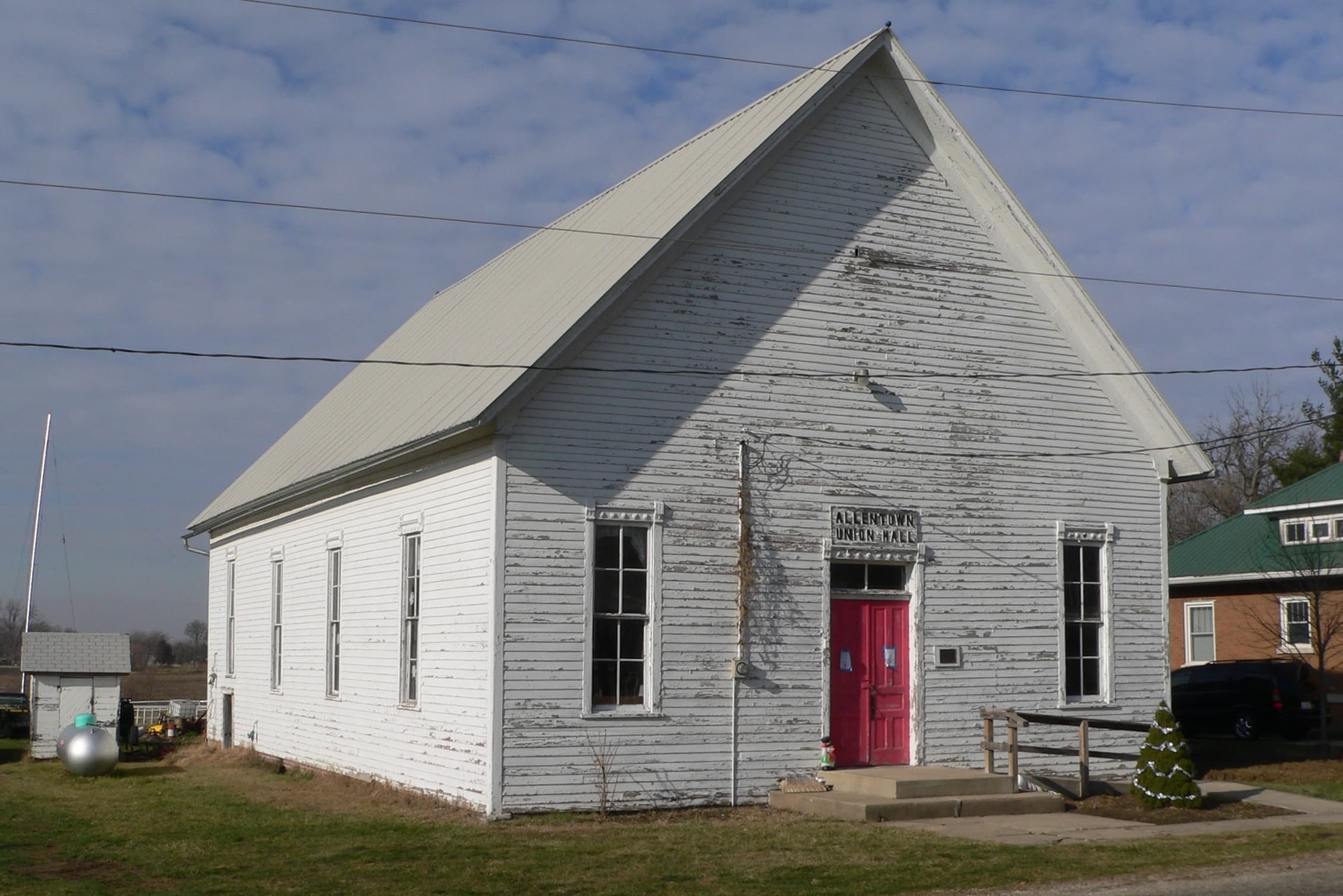
The same map shows that a railroad had been laid down next to the school house, tracking northwest to southeast diagonally through the middle of Edward Allen’s farm. The existence of the “Allentown” railroad depot near the school made the spot an ideal place to live, and very soon a little village had sprung up – the 1873 map shows 14 homes located near the railroad and the school, and more were soon to come. The village’s name, “Allentown,” first appears on the Tremont Township plat map found in the 1891 Tazewell County atlas. The following year the residents of Allentown built a community hall, called the Union Hall, where community celebrations, church services, club meetings, local elections, and performances by traveling musicians and vaudevillians were held. The Allentown Union Hall, now 127 years old, is still in use today, and a preservation group is devoted to maintaining the old building. The hall was added to the National Register of Historic Places on Aug. 12, 1988.
By 1910 Allentown had its own post office, and a second set of railroad tracks had been laid down – one set were the tracks of the Illinois Traction Co. and the other set were for the Vandalia Rail Road. Speaking personally, I first “discovered” Allentown while bicycling out in the countryside in the latter 1980s. Not having a map, I was curious to find out why the road was called “Allentown Road” and pedaled east from Pekin to see where the road led. “Aha! To Allentown, of course! Well, that makes sense.” At the time the railroad tracks were still there, but the prominent old depot and grain elevator was no longer in use – the elevator is still there but the tracks – once key to Allentown’s farming economy — have been pulled up. Traces remain of the old rail bed – a reminder of the village’s past.
