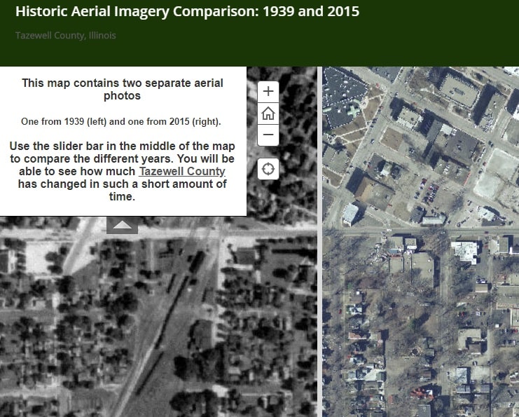
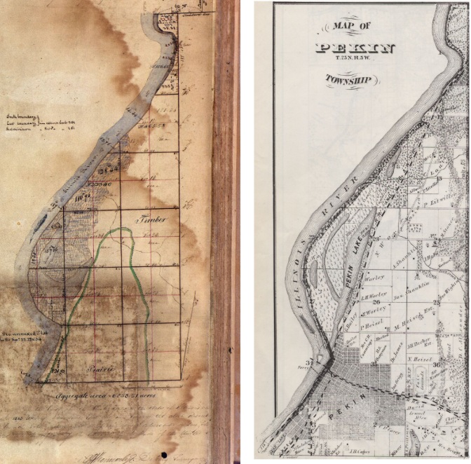
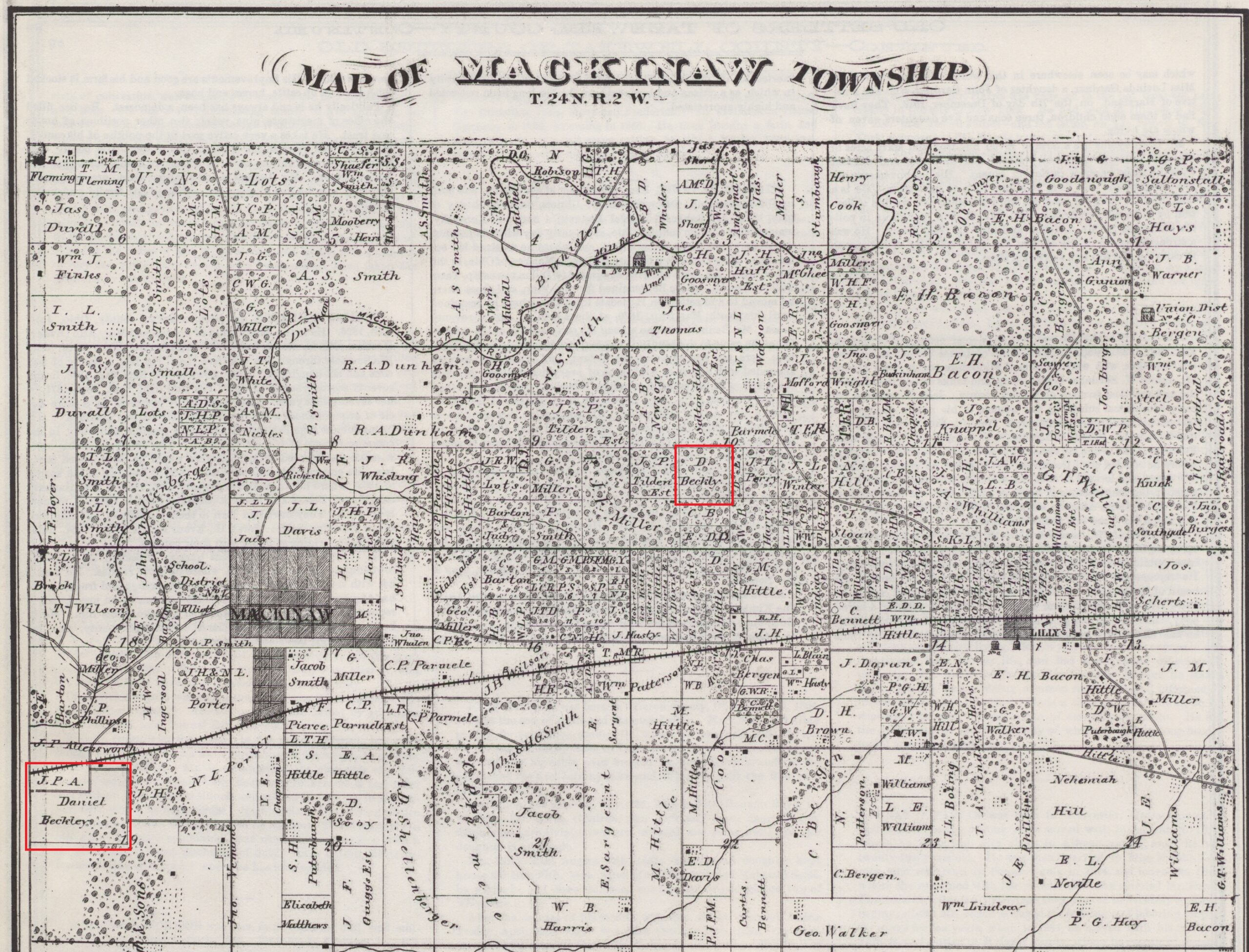
Only in the imaginary realms of science fiction, or the whimsical cartoon world of Mr. Peabody and Sherman, is it possible to hop in a time machine and leap back to 1939 – but Tazewell County’s Geographic Information System Coordinator Janna Baker and her assistant Shelly Farmer have created a remarkable map of our county that can serve as a substitute for Mr. Peabody’s WABAC machine.
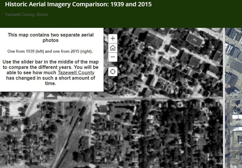
Baker and Farmer’s cartographic creation is entitled the “Historic Aerial Imagery Comparison: 1939 and 2015.” It’s actually two maps in one: county-wide aerial maps of the whole of Tazewell County from 1939 and 2015.
The aerial map(s) may be conveniently accessed online at https://arcg.is/1iDObX. (The link has been added to the blogroll on the right of this webpage.) Clicking on the slider bar’s double arrows and dragging your mouse left and right will “unroll” each map, enabling the user to flip (or roll) back and forth, showing how much of our county has changed – and how much is still the same – in the 76 years from 1939 to 2015. There is even a “zoom” feature that makes it possible to magnify the maps’ images to allow for close inspection of specific locations in the county.
“This project began because I noticed Peoria County has something similar available. I had even used their imagery in a grad school project,” Baker wrote to me in a recent email.
Orbiting satellites created the 2015 county map. There were no satellites in 1939, but there were airplanes, dirigibles, and hot air balloons, making it possible to aerially photograph our county square mile by square mile. (Our satellites have much more powerful cameras than existed in 1939, though, so the 2015 images have a much higher resolution – more detail – than those from 1939.) To create an equivalent to the 2015 zoomable color satellite map, the 1939 black-and-white aerial images just needed to be assembled like a giant patchwork quilt: something that would be impossible without modern computer technology.
“The 1939 aerial imagery is freely available for all of Illinois at the Illinois Geospatial Data Clearinghouse. But, they are individual images that are not stitched together into a coordinate system,” Baker explained. She continued, “Shelly Farmer used her time in between her normal workload of projects to stitch the imagery together into one large image and matching the coordinate system of our current aerial imagery. This was done over two months using [geographic information system company] Esri’s GIS software.”
Baker then published the digitally-assembled imagery online as a public service, to be used in web mapping applications.
No grant was needed to fund the Historical Aerial Imagery Comparison website – all work was completed using free and/or already available resources, Baker said.
“Beyond general interest, the historical imagery has value to engineers and planners. In many cases, it can be used to prove the existence of structures or landmarks during that time. It can be used to monitor and analyze change over time,” she said.
