The summer months are when American families traditionally hit the road for recreation and vacations. Over the past couple of decades, modern technology has introduced great changes in how we plan our trips and trace the routes to our destination.
Most of us probably rely on GPS to navigate from place to place, or plan our trips online using Google Maps or Mapquest. But many of us might still have glove boxes crammed with folded maps, or bring large road atlases along for long trips. Not very long ago, reading folded maps – and losing our tempers while wrestling with maps that just refused to fold back together properly – was simply the way long-distance road trips were done.
Another big change that helped cut down on our driving times was the construction of the Interstate Highway System starting in the mid-1950s. Originally conceived during the Cold War as a means to move troops and armaments rapidly in case the U.S. was attacked by another nation (in those days, such an attack was thought most likely to come from the Communist U.S.S.R.), instead the Interstates proved to be a boon to commerce and tourism.
Before the Interstate, however, travelers and truckers drove on state and national highways, usually just two lanes wide. Interchanges and on- and off-ramps were much rarer then, nor were there many bypasses of four or more lanes enabling drivers to avoid having to drive through cities and towns along the way to their destinations. Under such conditions, paper road maps and printed atlases were absolutely essential.
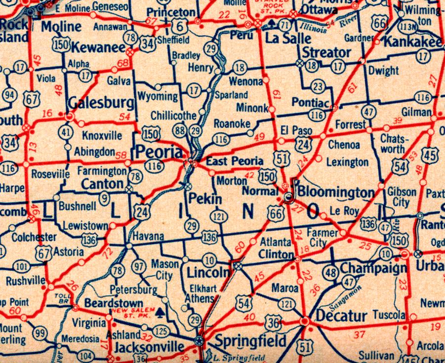
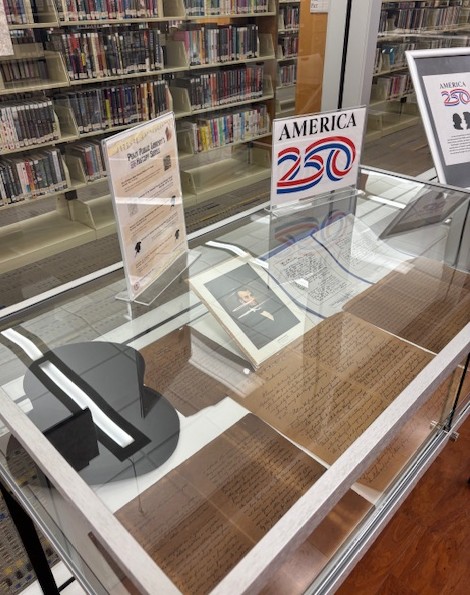
As it happens, the Pekin Public Library’s Local History Room collection can offer a glimpse of what America’s highway system look liked, and what road travel was like, before the construction of the Interstates. In the Local History Room collection is a road atlas of the contiguous 48 states that was published in 1955. It was designed for Brown & Bigelow of St. Paul, Minn., by Chicago-based H.M. Gousha Company, and printed by Brown & Bigelow for Kriegsman Warehouses of Pekin. The front and back covers of the atlas, and the inside front cover, are advertisements for Kriegsman Warehouses and Transfer Co. and Mayflower Warehouses. (We recently reviewed the historical connection between Kriegsman Transfer Co. and the founding of international moving conglomerate Crown Worldwide.)

Formerly owned by the late local historian Fred Soady of Pekin, the atlas includes guides and advice for drivers as well as mileage charts and other resources for planning trips. Turning to the maps themselves, Illinois and its neighboring states are found on pages 22 and 23. The only route out of or through Pekin that the atlas shows is Illinois Route 29, but other state and U.S. routes with familiar numbers are shown nearby – U.S. Route 24, U.S. 150, U.S. 136, and Illinois Route 116.

Another chart summarizes each state’s speed laws and gasoline tax rates. Our parents, grandparents, and great-grandparents may recall that in 1955, the speed limit in Illinois was . . . well, in fact Illinois had no speed limit at all, other than, “Reasonable and Proper.” As for gasoline taxes, in 1955 the state imposed a mere 5 cents per gallon and the federal government imposed a paltry 2 cents per gallon (the state tax is now 34.01 cents per gallon and the federal tax is 18.4 cents per gallon).
A couple of pages provide space for writing down one’s starting points, destinations, route numbers, miles, driving time, hotel reservations, and travel expenses.
Most of those are the kinds of things that Mapquest or Google Maps does for us automatically now.


