This is a reprint of a “From the Local History Room” column that first appeared in April 2014, before the launch of this weblog.
Looking at the lie of the land in Illinois
By Jared Olar
Local History Specialist
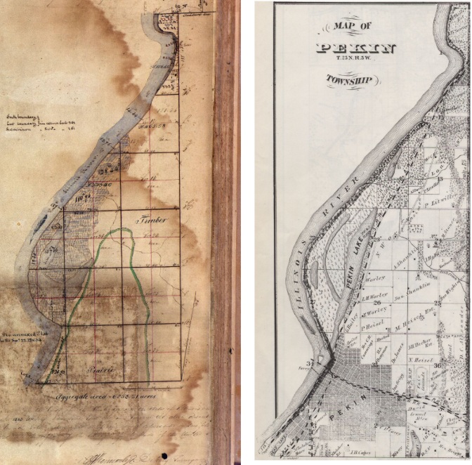
Whether it’s a question regarding the history of a particular locale or a need to become familiar with the lie of the land in an area, maps and atlases are invaluable resources and research tools.
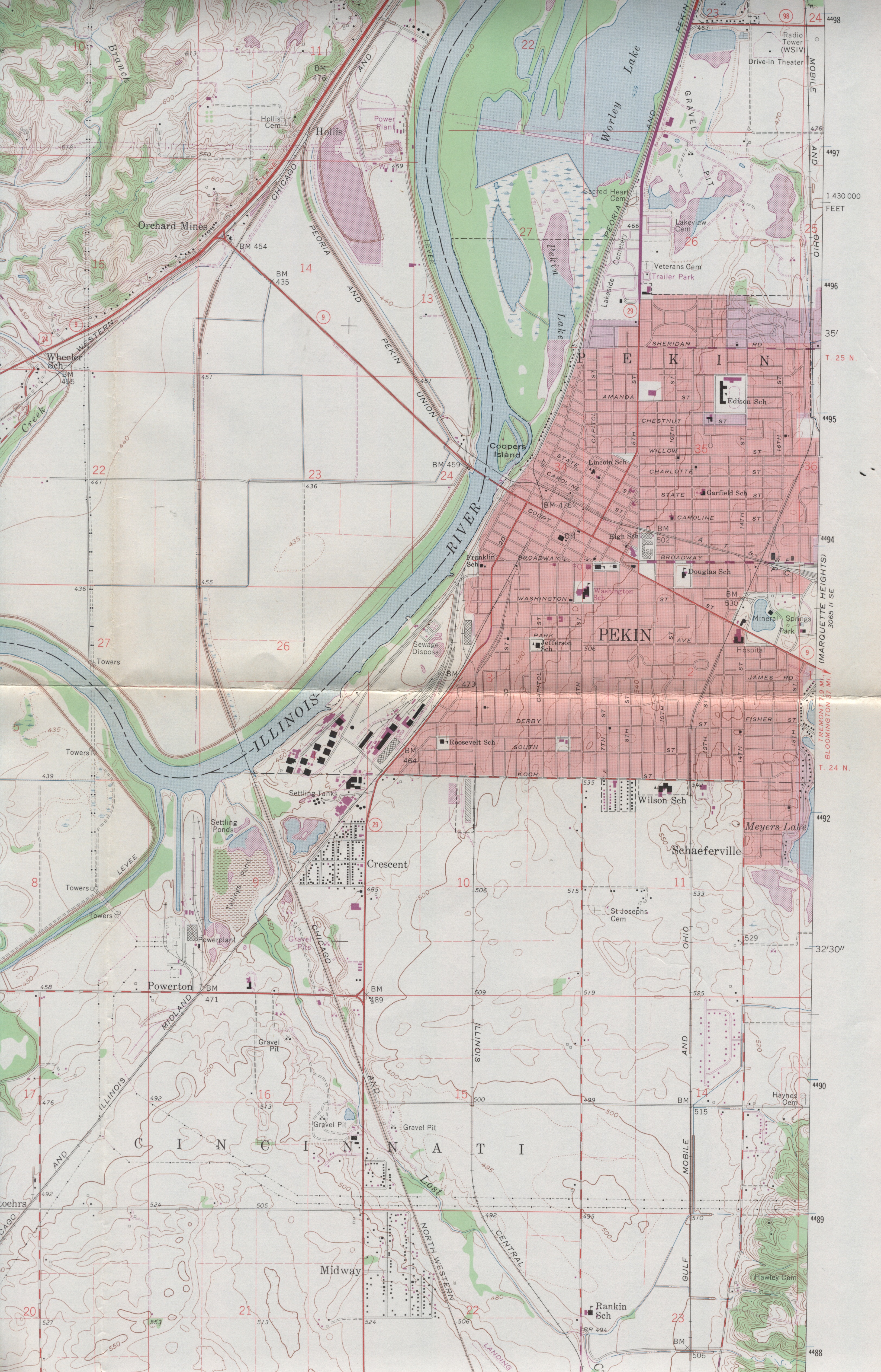
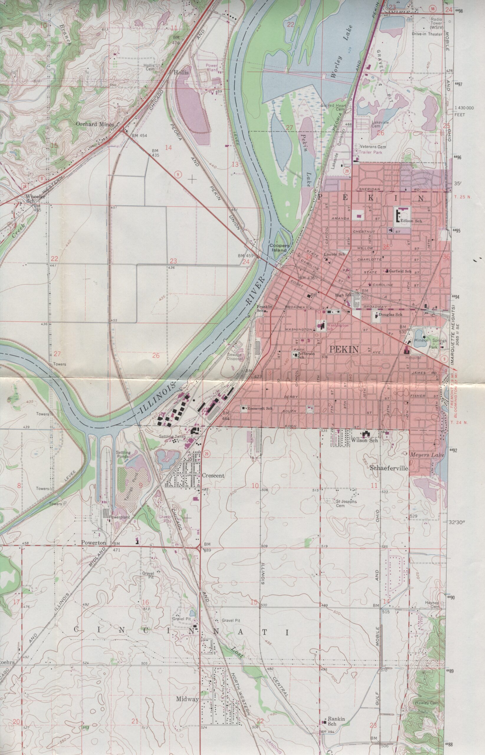
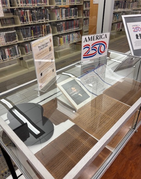
In the Spring of 2014, some especially useful examples of such tools were added to the researcher’s “tool box” known as the Pekin Public Library’s Local History Room collection: an archive of topographic maps produced by the Illinois State Geological Survey.
What sets topographic maps apart from other kinds of maps is that they not only show the location of cities, towns, roads, rivers, lakes, dams and boundaries, but they also indicate the contours of the terrain and the elevation of hills. With a topographic map, one can readily tell not only whether an area is rugged or level, but just how rugged or level it might be.
This archive of maps was generously donated to the library by Pekin resident Merle H. Glick (1924-2014), who built up an impressive collection of ISGS topographic maps over his years of traveling, hiking or canoeing through Illinois. Though not complete, Glick’s map collection nevertheless covers around two-thirds of the land area of the state of Illinois. Many of the maps are somewhat older, reflecting the way things appeared some years or decades ago, so the maps serve as historical primary sources.
Glick’s collection includes 178 individual topographic maps. Each map covers a “quadrangle” of the state of Illinois. Most of the quadrangle maps – 117 of them, to be exact – are large, at a scale of 1:24000, while the remaining 61 quadrangle maps are at the lower, less detailed 1:65000 scale. The collection also includes two indexes to the ISGS topographic maps, along with a topographic map symbols key, a few articles about maps, and a large ISGS “Geologic Map of Illinois” from 1967.
To consult the library’s topographic map collection, visit the Local History Room or inquire at the infodesk in the Adult Services Department.
