Two weeks ago, we explored a remarkable aspect of the natural history of the Mackinaw River in Tazewell County. One of the publications we used was the 1998 compilation of river maps prepared by the U.S. Army Corps of Engineers, “Illinois Waterway Navigation Charts.”
This compilation of colored drawn river charts is a recent acquisition of the Pekin Public Library, donated to the Local History Room collection by David Perkins of the Tazewell County Genealogical & Historical Society. River charts such as these are of course indispensable for those who use the Illinois River for recreation and commerce. Consequently, besides the charts, which trace the course of the Illinois and Chicago rivers from Grafton, Ill., on the Mississippi River, up to Lake Michigan, the compilation also includes laws and regulations for the use of the river, as well as appendices on barge facilities and submerged crossing clearances.
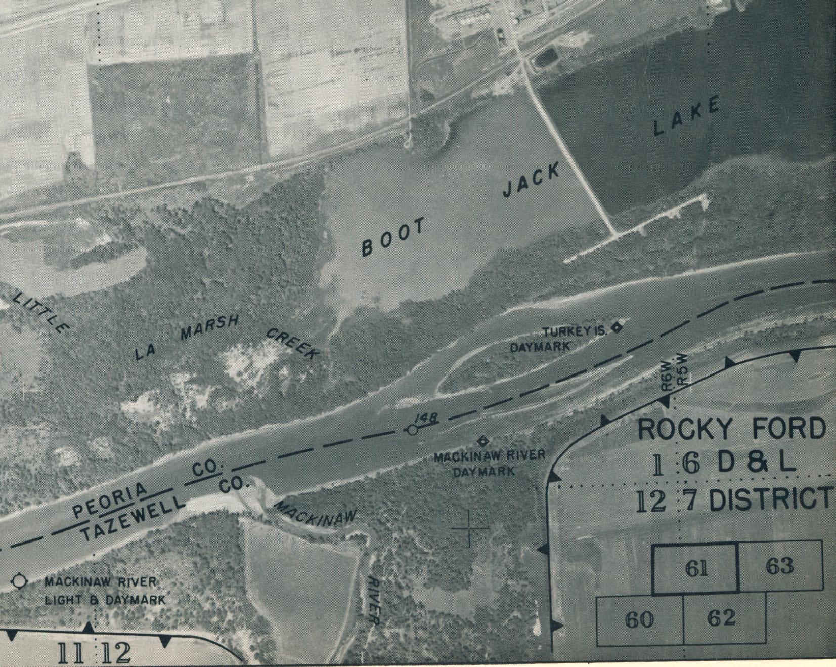
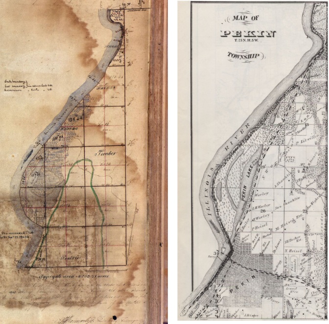
The charts are also of interest for those studying the geology and geography of Illinois, offering a snapshot of what the Illinois River was like in 1998. Another, related publication recently donated to the Pekin Public Library for the Local History Room provides similar information – a 1969 collection of aerial photographs of the Illinois River entitled, “Report for Recreational Development: Illinois River Backwater Areas,” prepared by the Department of Conservation’s Division of Waterways.
Like the 1998 charts, the photographs in the 1969 collection follow the course of the Illinois and Chicago rivers from the Mississippi to Lake Michigan. But the 1969 publication’s photos are black-and-white with colorized markings, while the 1998 publication’s charts are colored charts. In addition, the 1969 report’s photos take a more extended view of the lands near the Illinois River, since the report’s focus is on the river’s backwaters that are used by fisherman and other boaters for recreation. The 1969 report does not include supplemental appendices.
Though prepared for different reasons, these two publications both provide visual details of the Illinois River’s course at two moments in the recent past, helping to show how natural forces and human activity influence the river and change how the people of the state of Illinois make use of this natural resource.
