As we near the completion of our series on Tazewell County’s unincorporated communities, this week we will review the Morton Township’s subdivision of Mayfair and the older unincorporated locales known as Cooper Station and Crandall Station.
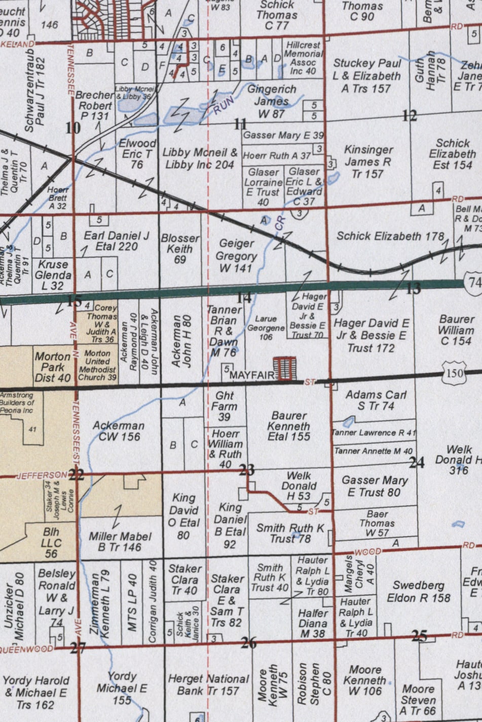
Looking over recent plat maps of Morton Township, one will find that Mayfair is the township’s only residential community outside the village of Morton. Situated about a mile east of Morton on the north side of East Jackson Street (U.S. Route 150), Mayfair consists of 40 homes along four streets (Durant and Bryant running north-south, Fred and Grant running east-west).
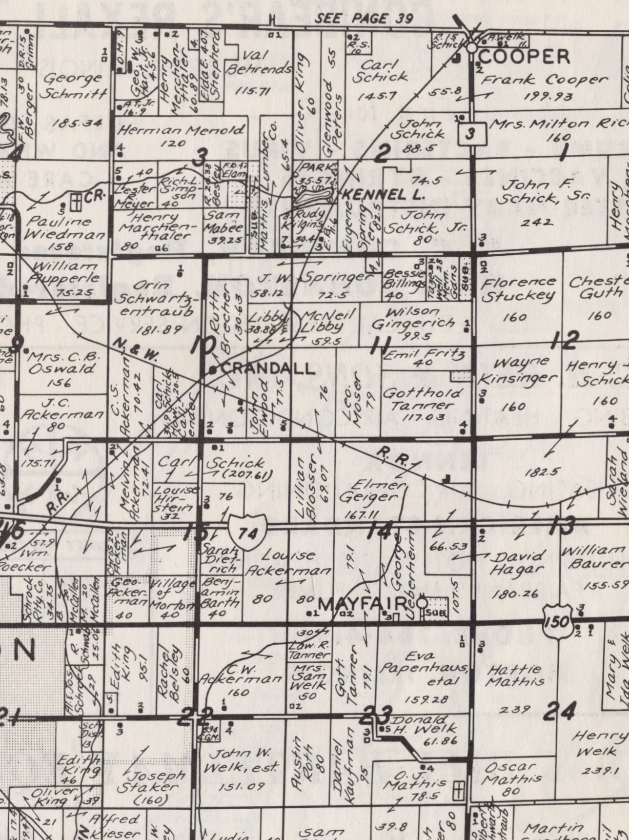
Old county plat books show that Mayfair was established at some point between 1955 and 1967. Long before Mayfair was laid out, however, a rural country schoolhouse (Morton Township Schoolhouse No. 8) was located just across the road. Township plat maps and county atlases show that schoolhouse in 1864 and 1873. By 1891, however, the schoolhouse had been relocated to the southwest corner of the intersection of Jackson Street and Washington Road, where it remained for a few more decades – the site is now a vacant lot.
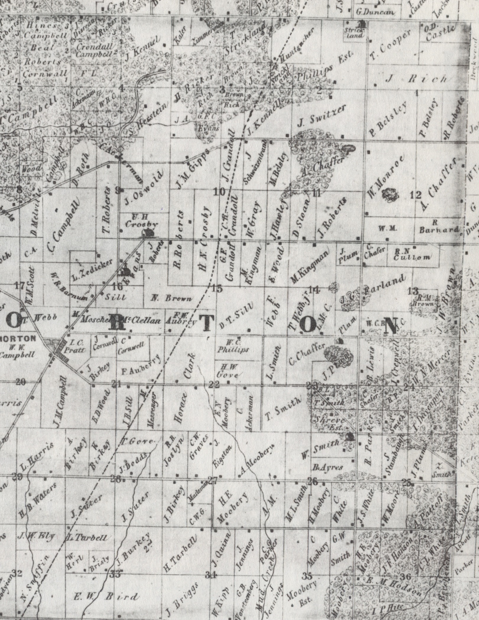
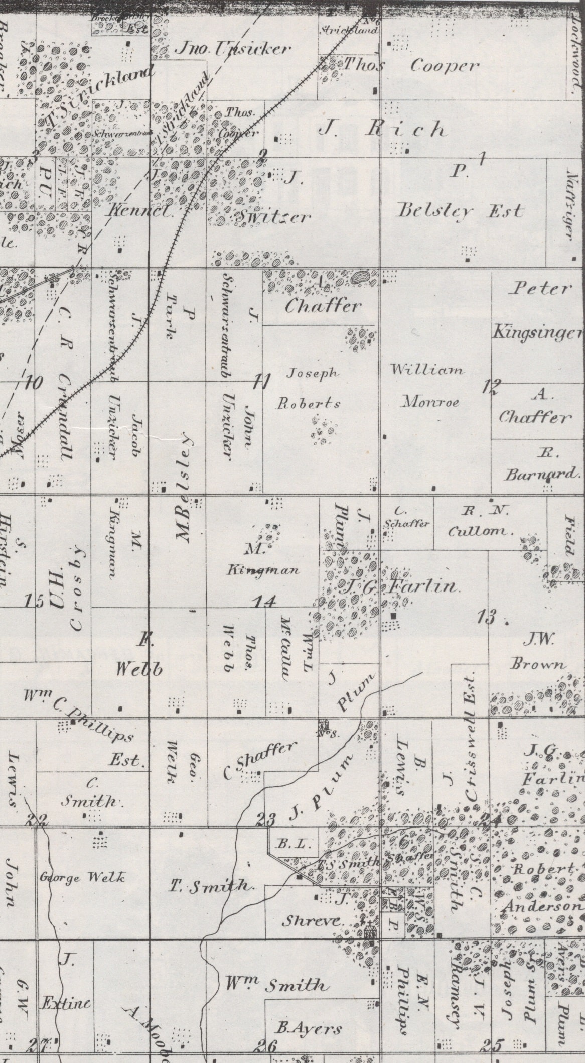
Other than Mayfair, the only other locales indicated as communities on old plat maps are Crandall Station and Cooper Station. Crandall no longer appears on plat maps, but older maps show that it was the site of a railroad station northeast of Morton in Section 10, at the spot where the Atchison, Topeka & Santa Fe line intersected with the Norfolk & Western line. There was never much to Crandall besides the railroad depot, which got its name because it was located on the land of a local farmer named C. R. Crandall. The depot is long gone, and the tracks of the former A. T. & S. F. railroad now stop at the former site of Crandall.
Further up the old A. T. & S. F. line, where the railroad used to cross from Morton Township into Washington Township, there was another depot known as Cooper Station, so called because it was established on the land of Joseph Cooper. The depot of Cooper Station first appears in the 1891 Tazewell County atlas, but even before the train station was built the site had long been the location of Morton Township Schoolhouse No. 6, as indicated on the 1864 and 1873 county plats.
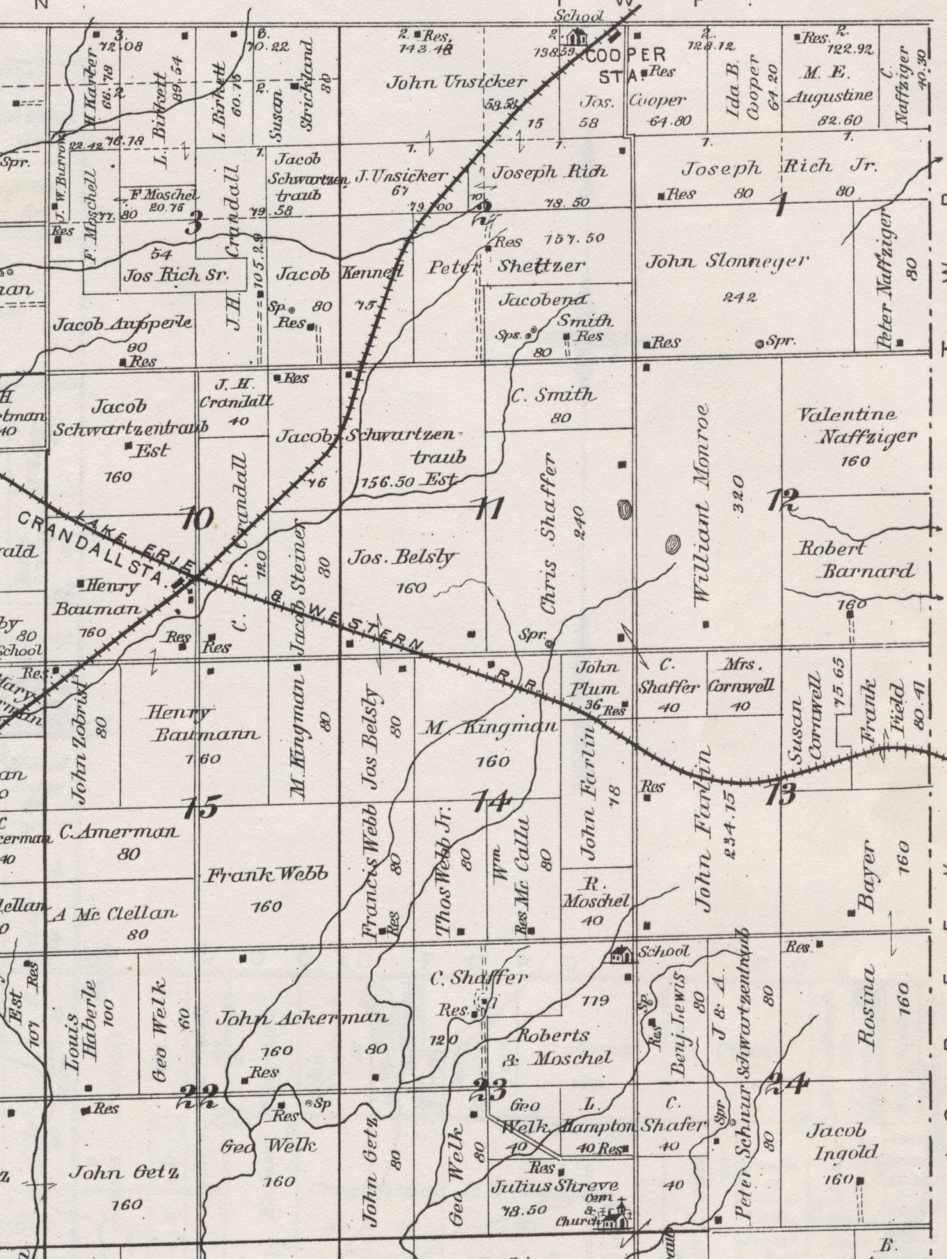
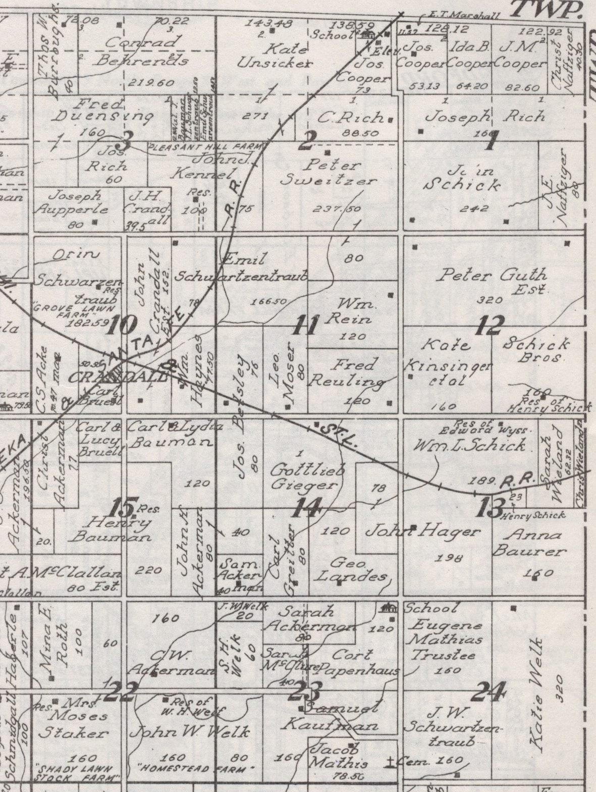
The 1929 Tazewell County atlas does not name Cooper Station, but shows the site as the location of a school, train depot, grain elevator, and a few residences. Today the intersection of Cooper and Washington roads is no longer the site of a train station (the tracks have been pulled up), and the school is long gone, but there are still grain elevators as well as Hicksgas Propane Sales & Service, the Roanoke Farmers Association, and a few homes.
