Two weeks ago we spotlighted the unincorporated village of Dillon, seat of Dillon Township. Besides the village of Dillon, the township also has a large group of neighboring subdivisions that are accessed via Tullamore Road off Springfield Road to the east.
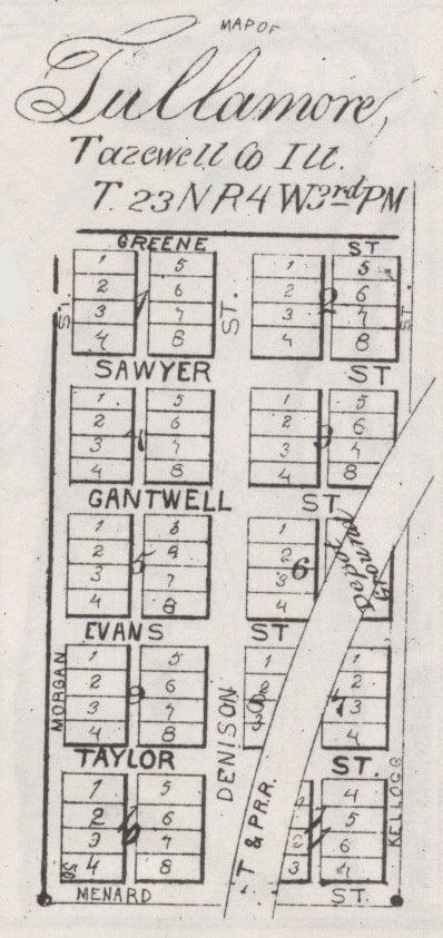
Tullamore Road itself is named for the defunct town of Tullamore that once existed in the middle of Section 24 on the eastern edge of Dillon Township. Late local historian Fred Soady, in his 1979 “Preliminary Master List of Settlements in Tazewell County, Illinois,” noted that the site of Tullamore was first settled around 1835. It was first named and platted as “Danforth,” and it appears under that name on an 1864 wall plat map of Tazewell County, where it is shown as a station on the old T & P Railroad. Danforth’s original plat says the town was surveyed by William S. Morgan for proprietors E. W. Cantwell and W. F. Evans.
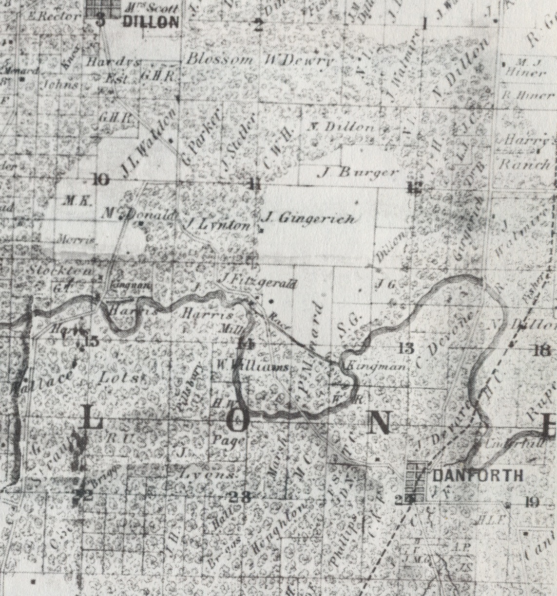
According to Soady, Danforth had its own post office from 1860 to 1865, but in 1865 Danforth was renamed “Tullamore.” An 1873 plat of Tullamore shows the town as a vertically-oriented rectangle with three north-south streets (Morgan, Denison, and Kellogg) and six east-west streets (Greene, Sawyer, Gantwell, Evans, Taylor and Menard). An 1891 plat map of Dillon Township shows Tullamore had its own post office and schoolhouse, but by then the T & P railroad tracks had already been pulled up. (Even after all this time, the remnants of the old rail bed near the defunct town are still visible in aerial photographs.)
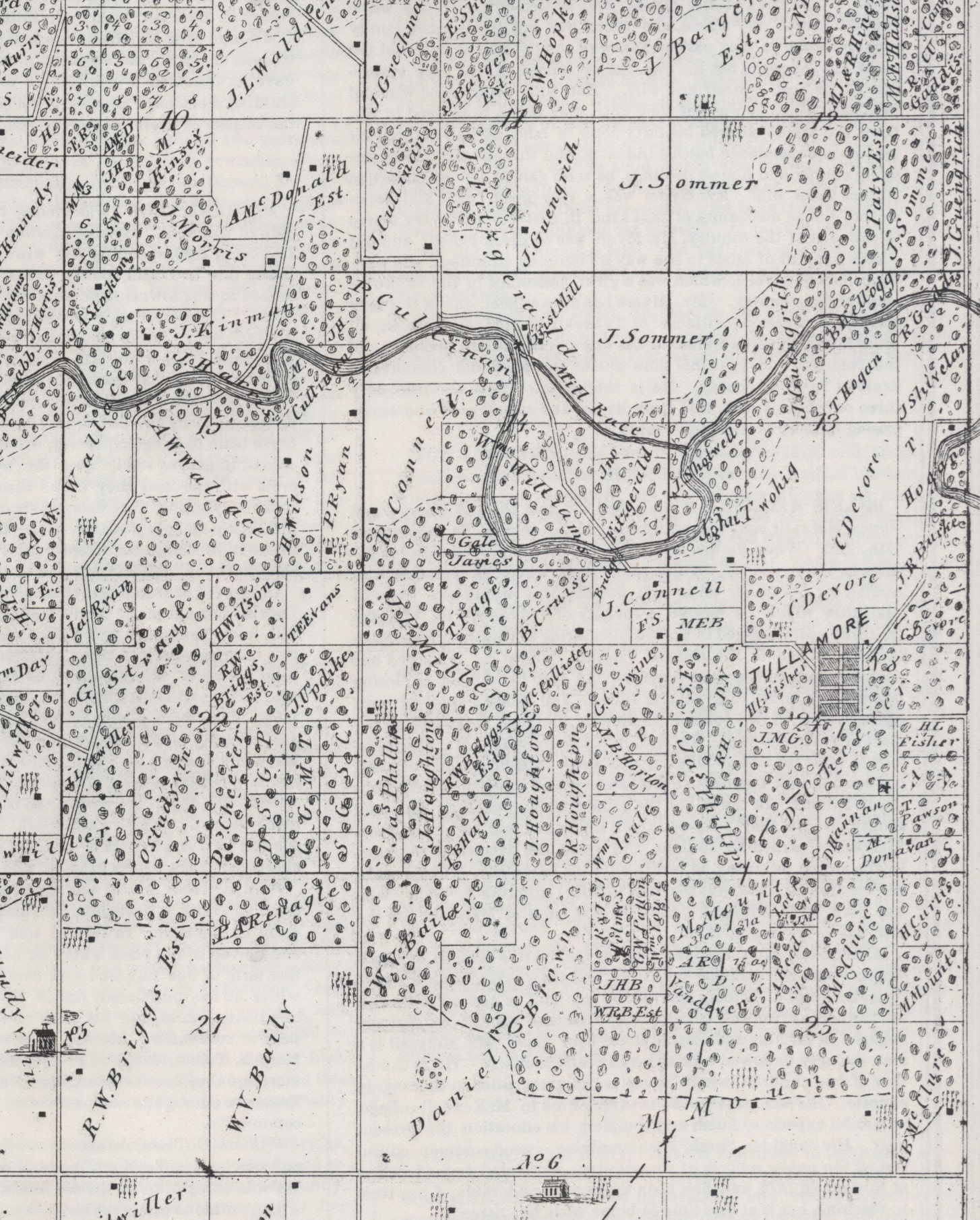
The removal of the T & P rail line through Tullamore no doubt led to the failure of the town – even in the 1891 Tazewell County atlas, the town itself is not shown, but only the Tullamore post office and school. According to Soady, the Tullamore post office closed in 1892. Even so, the land of the former town is still an inhabited place today, being the location of 10 homes near the junction of Tullamore and Locust roads. The route of Tullamore and Locust roads through the old town follows the track of Tullamore’s former Greene, Denison, and Menard streets. But Tullamore itself is today only the name of the road that goes to where the town used to be.
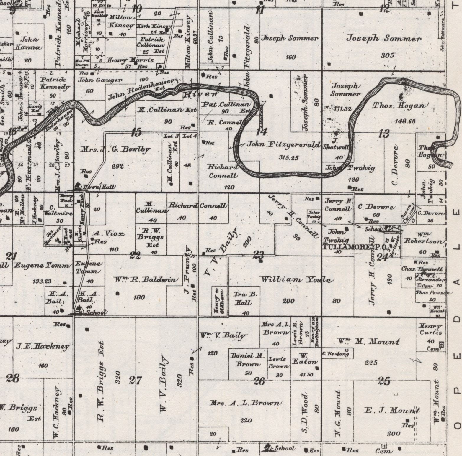
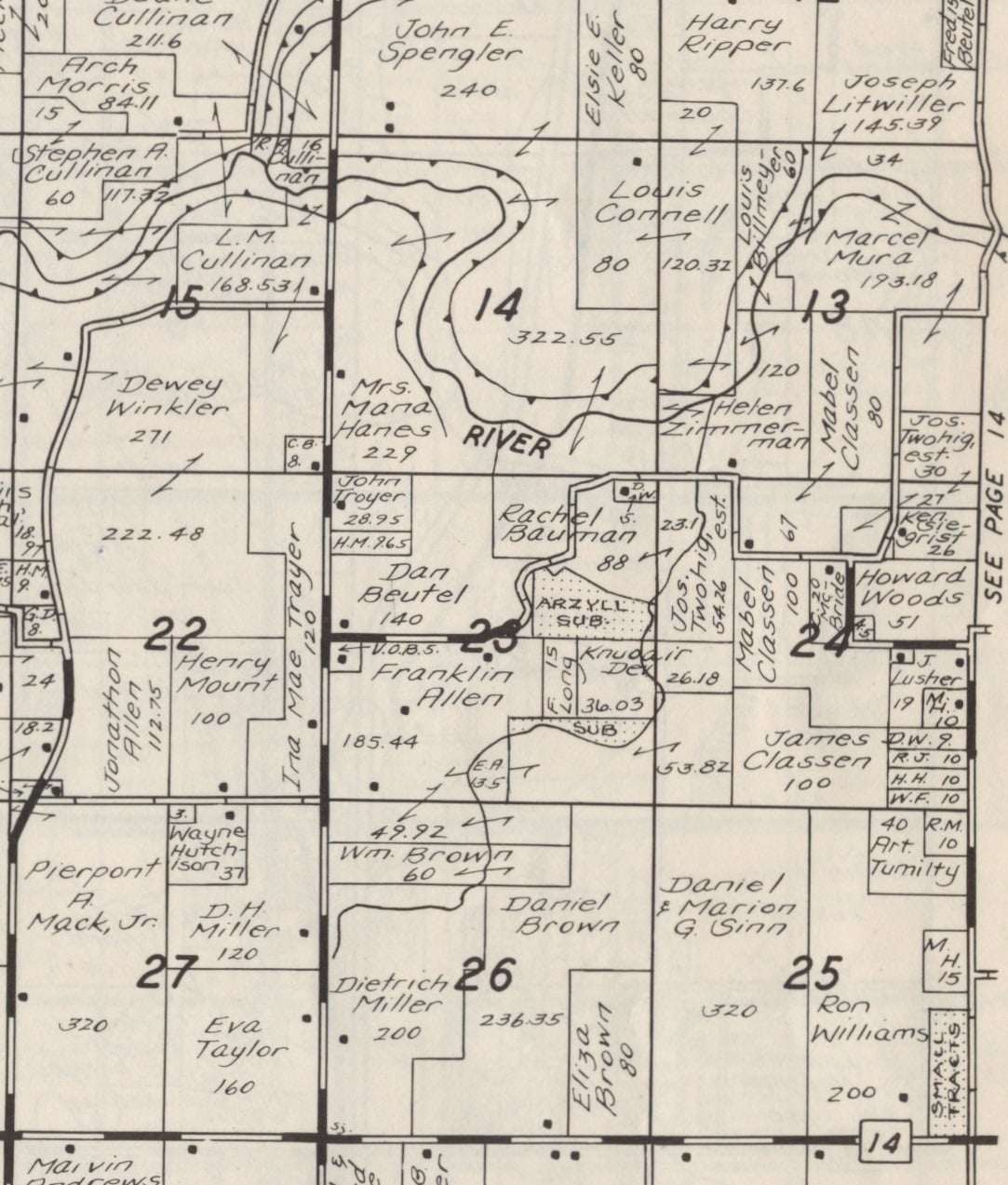
Long after the failure of Tullamore, in the 1970s real estate developers established new residential subdivisions in Section 23 to the west of the former Tullamore, and accessed via Tullamore Road. The 1975 plat book of Tazewell County shows the first of these subdivisions as “Argyll Sub.” and another unnamed subdivision to the south of Argyll.
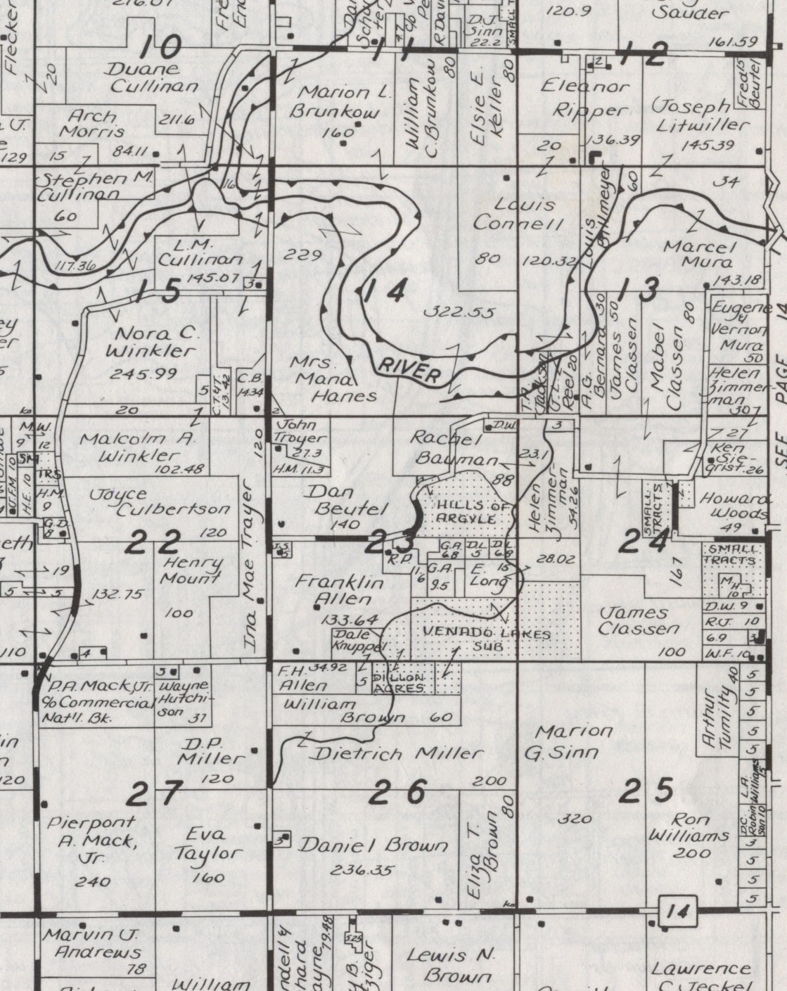
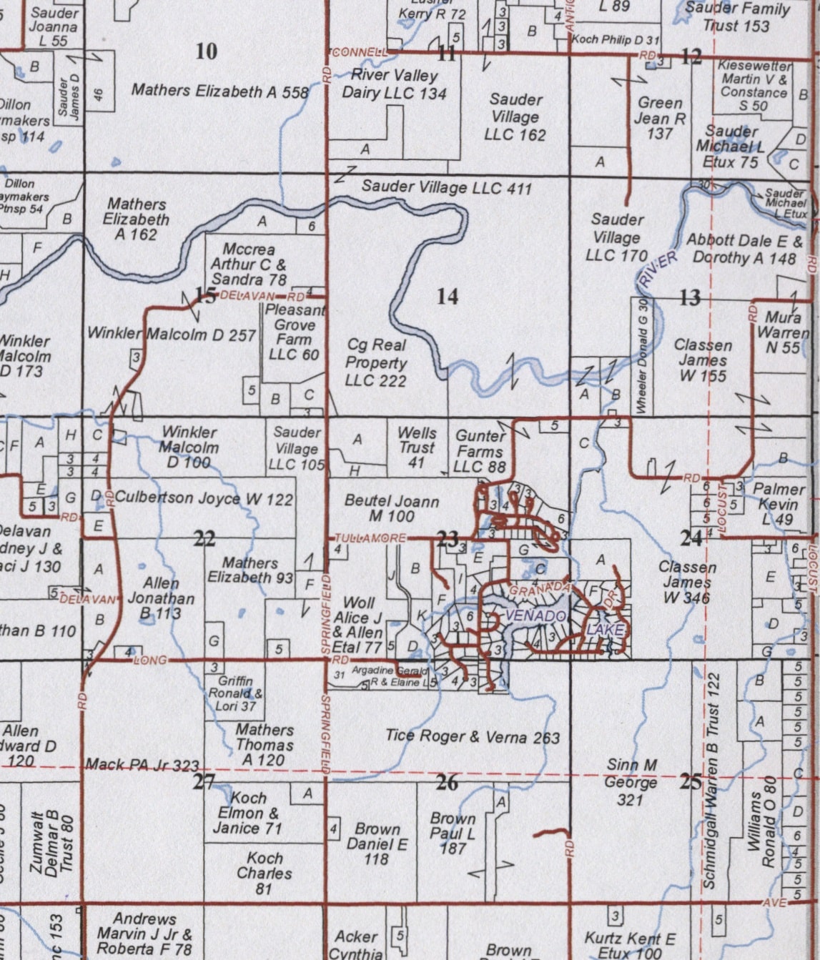
By 1982, Argyll Subdivision had become “Hills of Argyle,” while the southern subdivision had expanded and become the Venado Lakes Subdivision, with homes built around a new lake that was formed by the damming of one of the tributary creeks of the Mackinaw River. The 1982 plat map of Dillon Township also shows a third subdivision, Dillon Acres, adjacent to Venado Lakes in Sections 23 and 26. Taken together, the Tullamore Road subdivisions have a larger population than the village of Dillon.
