Continuing our series on the unincorporated communities in Tazewell County, this week we’ll look at another of the communities of Spring Lake Township. As we noted last time, Spring Lake Township is a large, sparsely populated area – it’s long been known for farming, fishing, and hunting – with no incorporated municipalities. However, there are several unincorporated communities (subdivisions, rather) in the township.
While Parkland is the oldest surviving community in Spring Lake Township, it’s also the smallest. The largest community in Spring Lake Township is Talbott, a subdivision on both sides of the Manito Blacktop in Section 21 in the northern part of the township. Bordering Talbott Subdivision on the east is Winfield Estates (25 homes on the Winfield Drive cul-de-sac), while not quite a mile to the northeast on the north side of Manito Road is the Country View Estates subdivision.
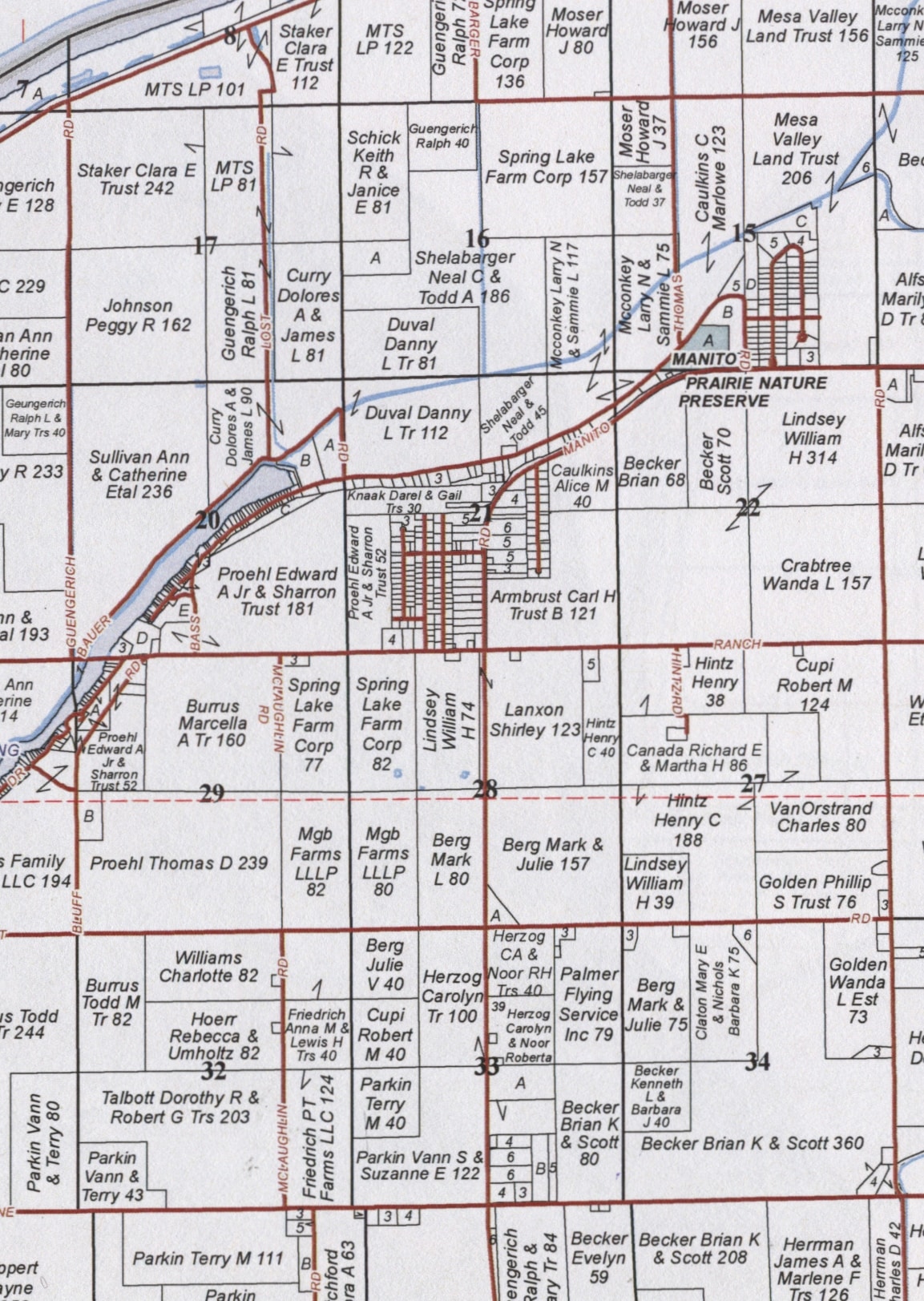
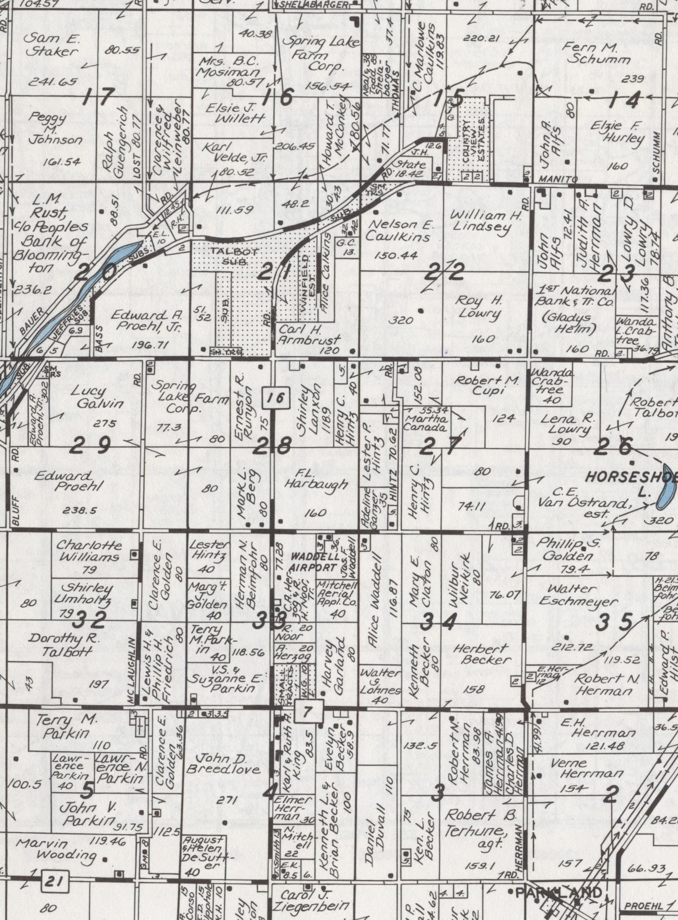
Taken together, the subdivisions and homes in Sections 21, 22, and 15 along this stretch of the Manito Blacktop virtually make up an unincorporated village, and might even have enough population to officially incorporate if a majority of their residents voted to do so. Talbott Subdivision is the home of Spring Lake Elementary School (Spring Lake Central Consolidated School District 606), located at 13650 N. Manito Road.
Talbott’s southern border is Sky Ranch Road, which runs east-west. The other east-west streets in Talbott are Spruce and Myrtle streets, while Walnut, Laurel, and Cedar streets, and of course Manito Road, all run north-south. Most of Talbott’s streets have “tree” names, and those names can serve as a clue to the reason the subdivision is named Talbott. The origin of those street names might be guessed by any family in the area who has ever taken a drive down Illinois Route 29 a little way past South Pekin to 14143 Christmas Tree Road, to select a Christmas tree at Talbott’s Christmas Tree Farm.
One of the members of the Talbott family, which has operated their Christmas Tree Farm since 1947, was the owner of the land on which Talbott Subdivision was platted and laid out. According to the Talbott Christmas Tree Farm’s official website, the tree farm was established by Earl Talbott, who planted pine trees on a stretch of barren, sandy soil on land owned by his father Glen Talbott. “When Earl’s brother, Bob, returned from the Navy, the brothers began to cultivate the trees into Christmas trees with help from their cousin, Lacey Talbott,” the website says.
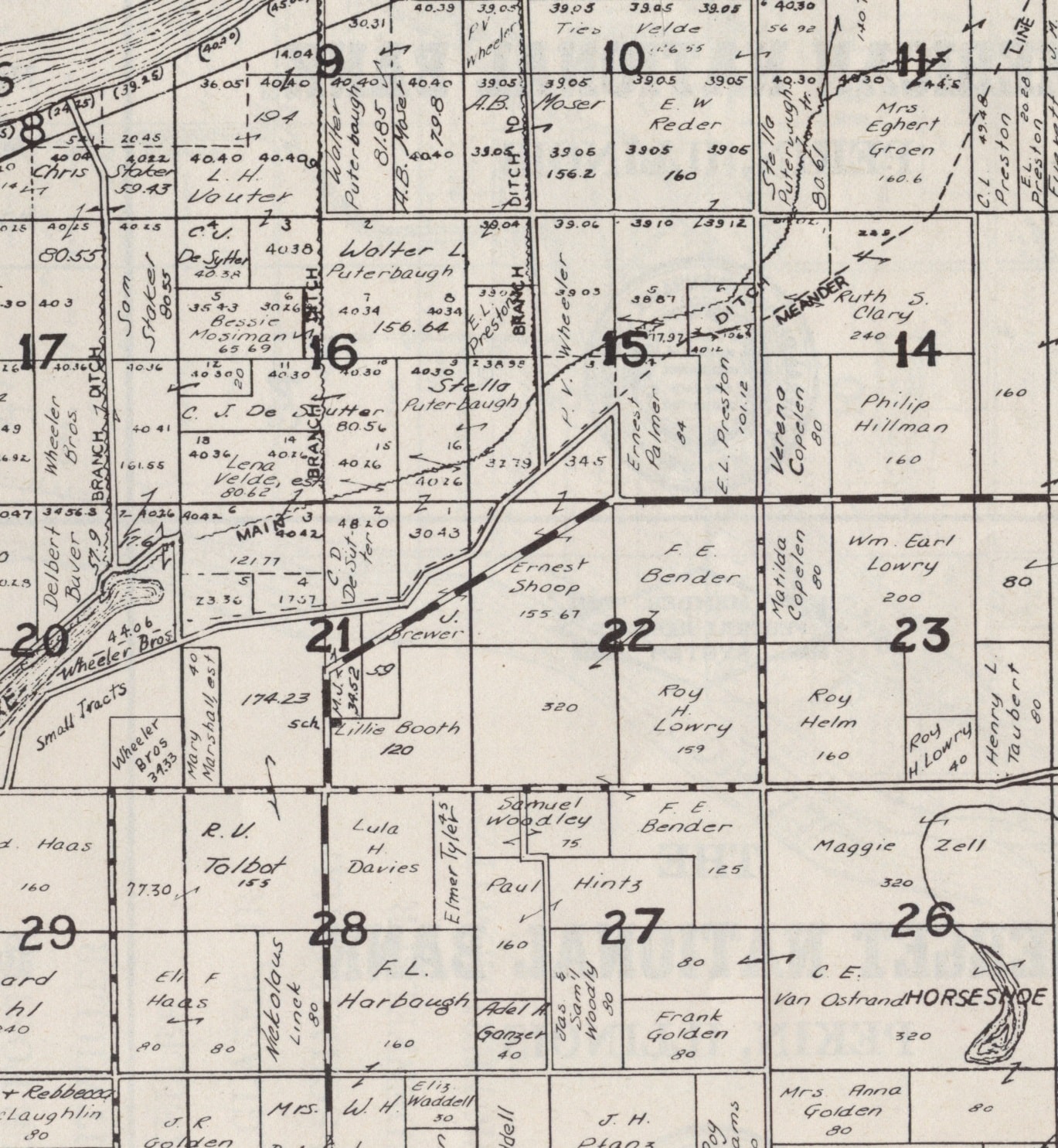
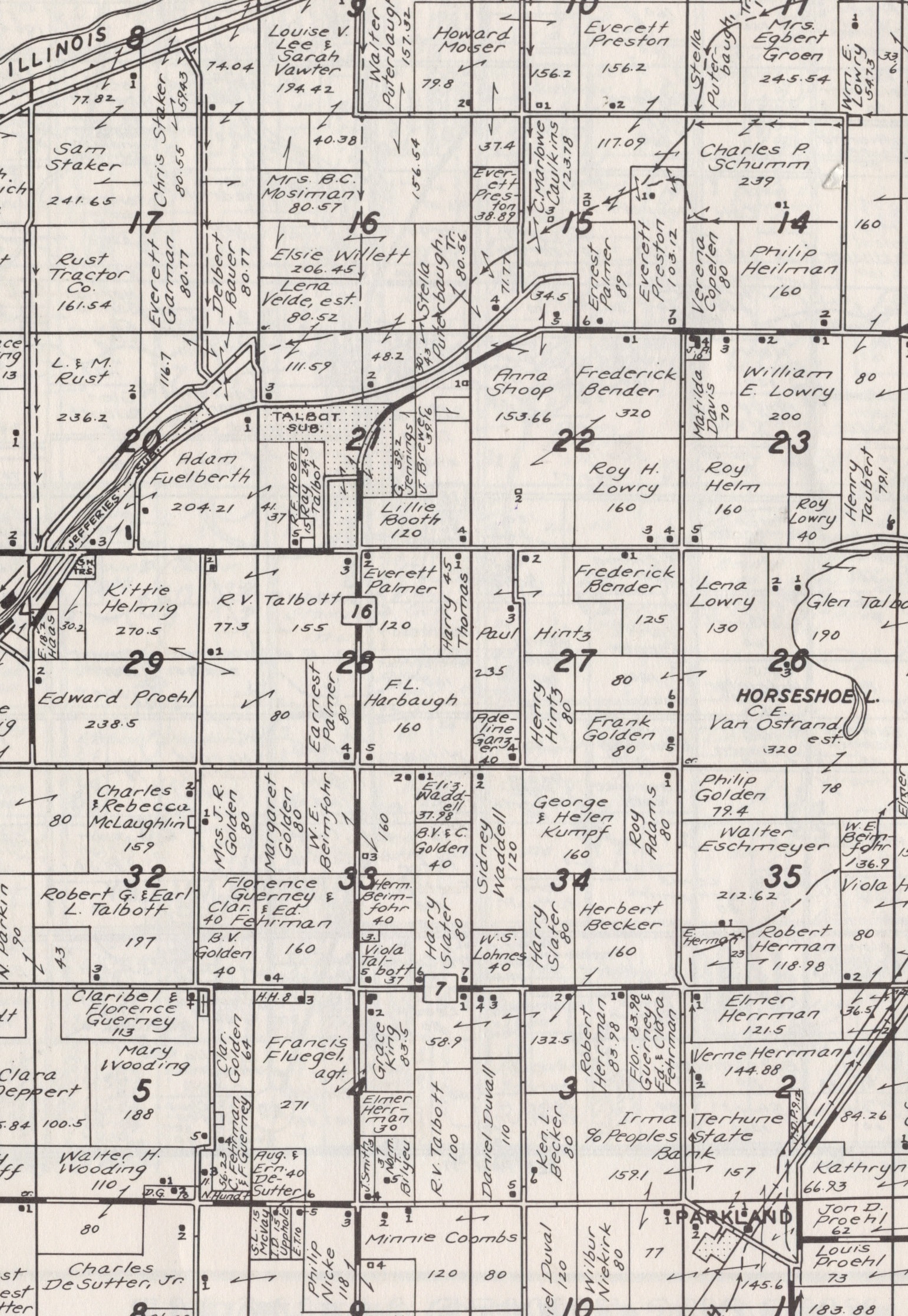
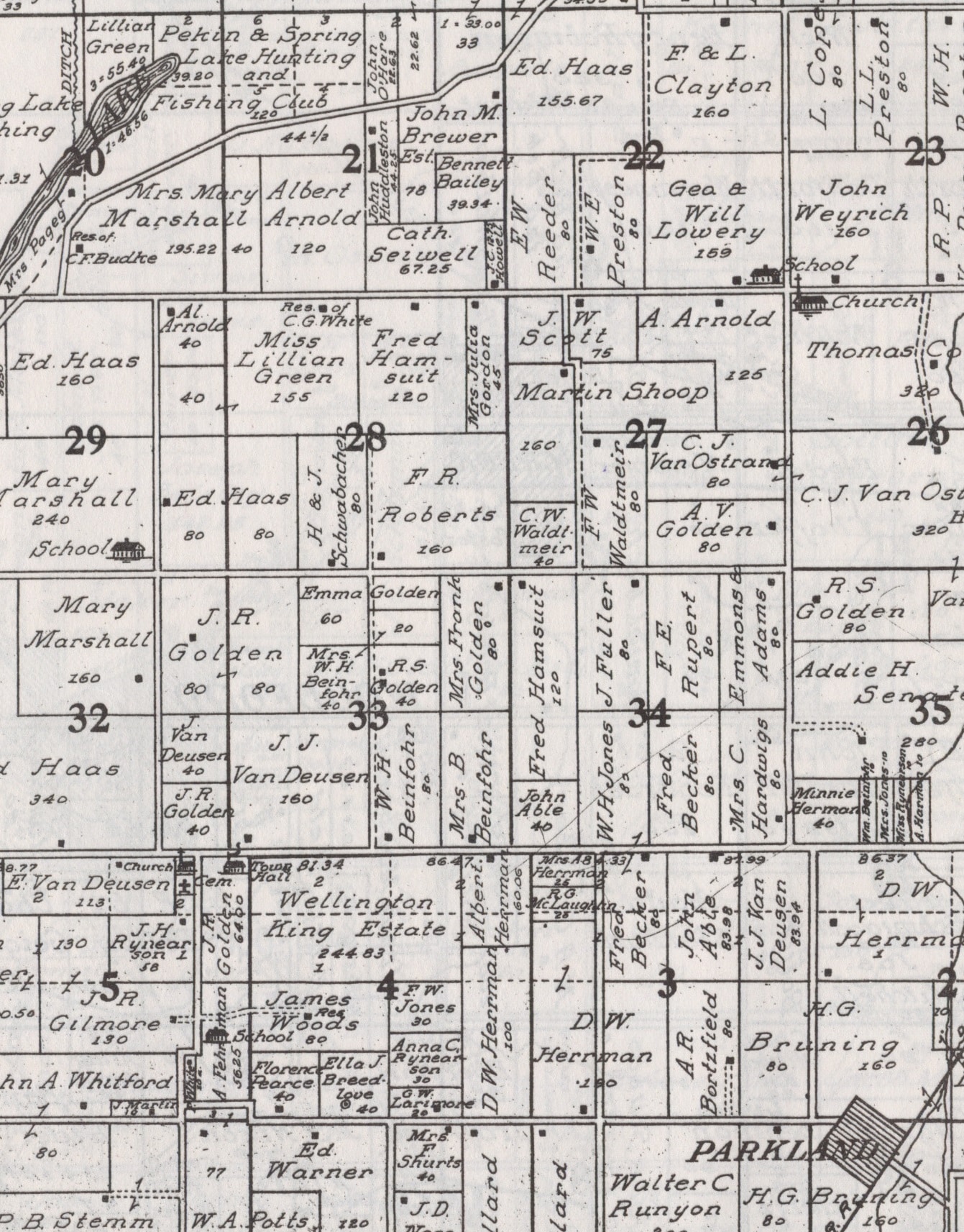
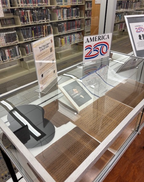
An old 1955 Tazewell County plat book in the Pekin Public Library’s Local History Room collection shows “R. V. Talbott” – i.e. Ray Verne Talbott (1890-1987) – as the owner of the Talbott Subdivision land, along with the farmland on the south side of Sky Ranch Road. Ray was one of Glen Talbott’s brothers. It wasn’t too long after 1955 that the subdivision of Talbott was established. The next plat book in our collection, from 1967, shows the subdivision in existence with just two streets, and a sliver of land on the north side of Sky Ranch Road still in Ray’s name. By the 1990s, however, after Ray’s death, that land too had been subdivided to allow for more homes to be built.
As Spring Lake Township’s largest community and the location of a grade school, one might expect Talbott to be the home of the township’s offices. To find the Spring Lake Township town hall, however, one must drive another two miles south down the Blacktop, then turn right on Townline Road. The town hall and other township facilities are a group of whitewashed buildings on the south side of the road, and a just little further up the road is Spring Lake Missionary Church – the Spring Lake Township Cemetery is located right behind the church.
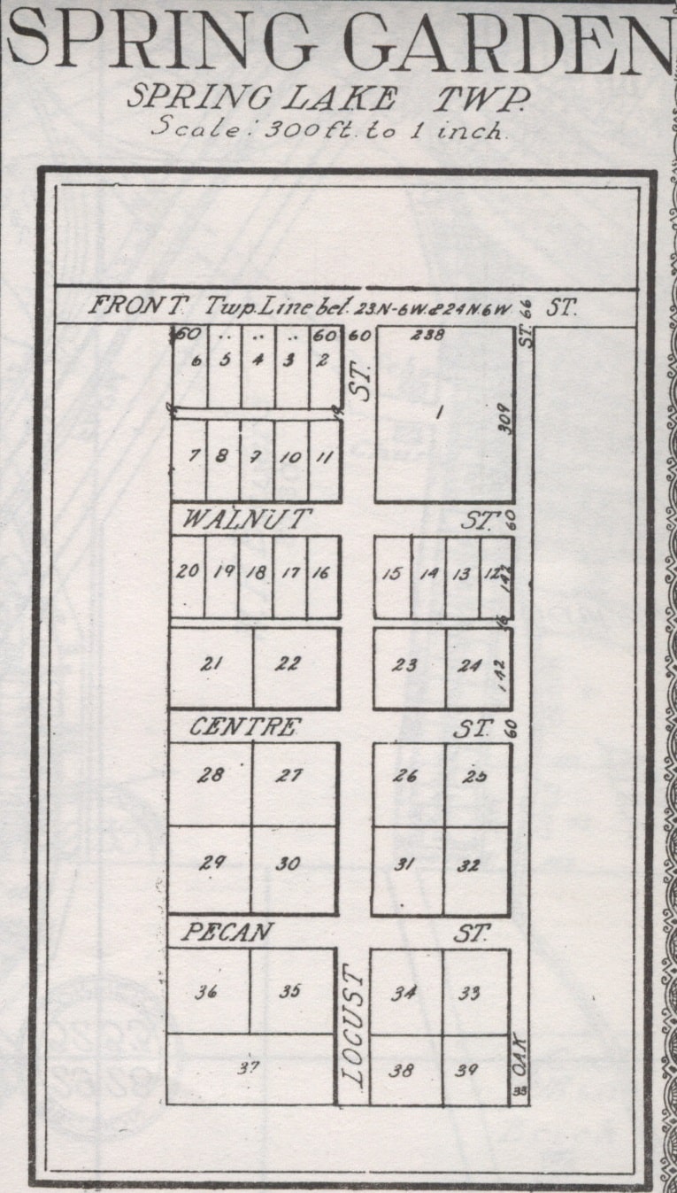
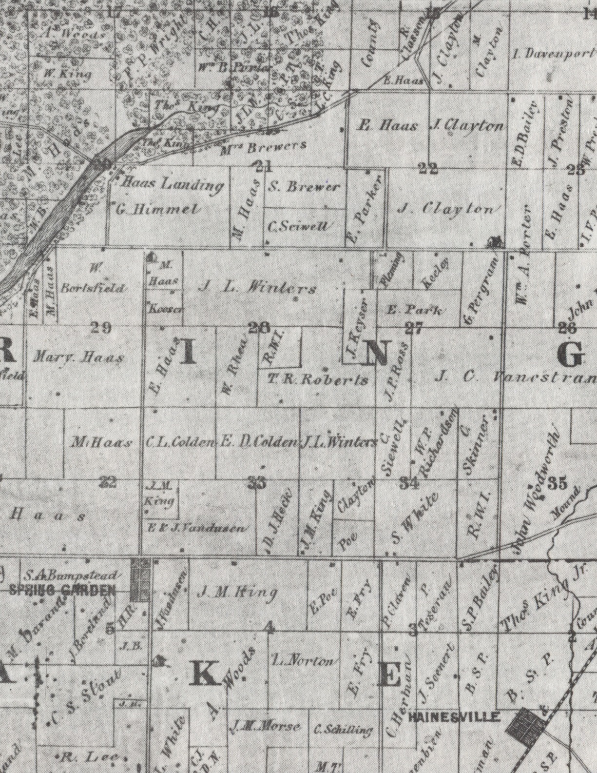
Old county plat atlases show that the Spring Lake town hall has been at the same spot since about 1870, back when the church and cemetery were in the (now defunct) unincorporated town of Spring Garden. The cemetery, the church, and the town hall are almost the only trace today of Spring Garden – except for the name of the north-south road that meets Townline Road at the church: Spring Garden Road. Lacking a railroad depot in those days, Spring Garden never really took off as a town, and was completely bypassed with the construction of the Manito Blacktop, a new road that enabled Talbott to take root and grow after Spring Garden had dried up and withered.
