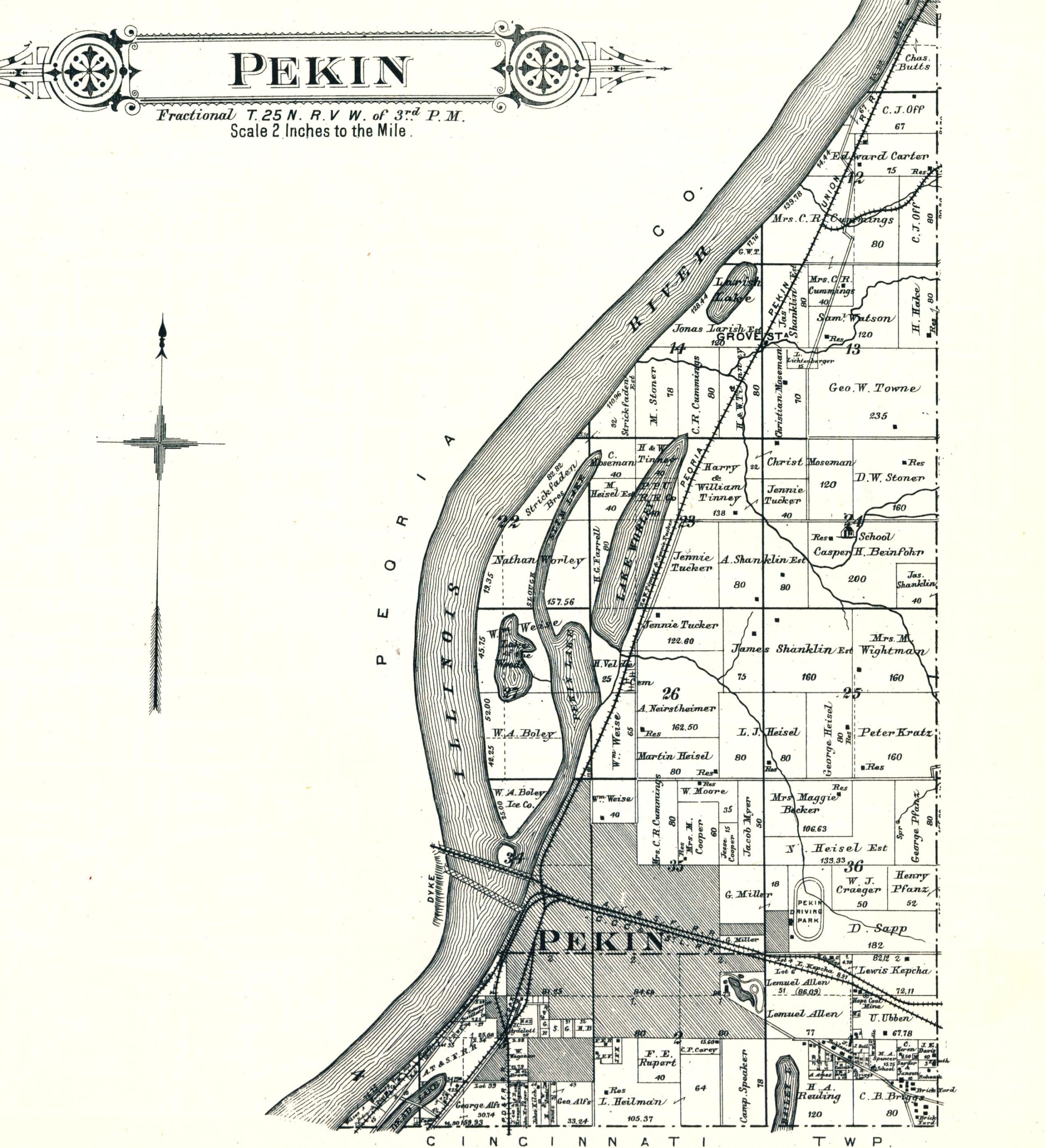
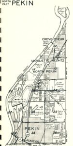
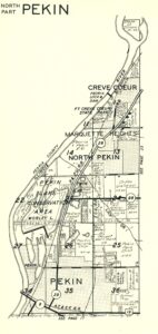
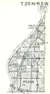
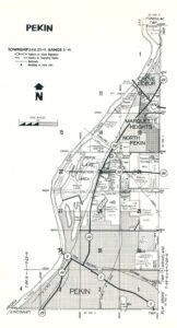
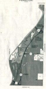
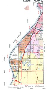
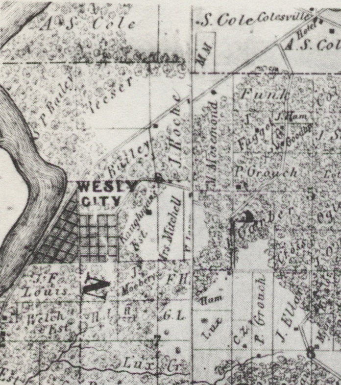
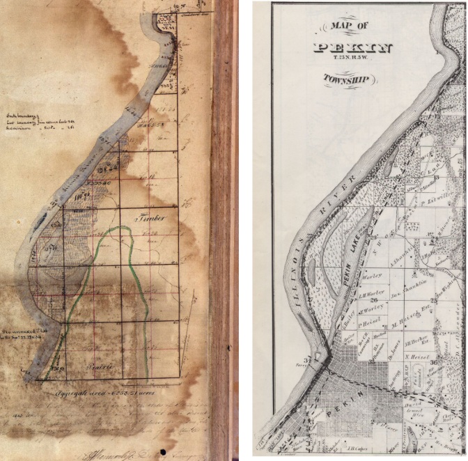
Taking up again last month’s exploration of the story of Pekin’s expansion over time as shown in historical atlases and plat books of Tazewell County, in this week’s From the Local History Room column we’ll zoom in on the city’s northward expansion.
The earliest atlases and plat books indicate that development and expansion on the city’s north side was relatively slow during the 1800s. During that period, most of the land within or just outside the city’s northern borders was parceled out into a patchwork of a good number of private farms. The 1891 county atlas shows the following names of families owning and working land along the city’s north side but south of what is now Sheridan Road: Weise, Cummings, Moore, Cooper, Myer, Becker, Pfanz and Heisel. Between Sheridan and what is now Route 98, the 1891 atlas shows farms owned by the families of James Shanklin and A. Shanklin, Tucker, Heisel, A. Neirstheimer, Kratz, Wightman and Beinfohr.
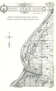
The picture was little changed by 1910 – the atlas and plat book that year shows most of the same family farms in that area of the city and its northern border, and the developed city had moved only slightly further north at one or two spots. The southern part of the old Tucker place, however, had been acquired by the Worley family, for whom Worley Lake along the west side of Route 29 is named. The Velde family also appears as a land owner north of Lakeside and Sacred Heart cemeteries and south of Worley Lake on the west side of the future Route 29. The Velde name, of course, is still attached to property in that part of town – the noted car dealership on Pekin’s Auto Row, on the east side of Route 29.
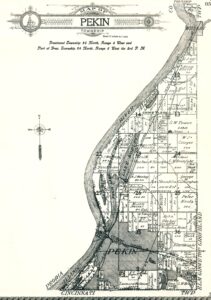
Moving ahead to 1929, the plat map for Pekin Township shows that the city had acquired more land on the north side, with developed Pekin extending as far as a few blocks along the south side of Sheridan Road. Land owners and farmers in the area included the families of Pfanz, Heisel, Moore, Crager, Cunningham, Adolph Nierstheimer Jr., Soldwedel, Cummings, Urish, Jost, Clara and Emma Shanklin (operating Sunny Acres Farm), and James Shanklin Sr. Also operating along Highway 24 (today Route 29) in 1929 was McGrath Sand & Gravel Co.
At this point of the story, we’ll jump ahead 38 years to consult the 1967 Tazewell County plat book. The Local History Room has several Pekin maps from the time between 1929 and 1967, but they’re not formal plats identifying land owners and businesses on Pekin’s north side. By 1967, Pekin had spread north of Sheridan Road, and old Highway 24 had become Illinois Route 29 while Route 98 had also received its designation. Most of the old farming families no longer appear on the map, however – only Crager, Heisel, and A.C. Nierstheimer still had farms in the area, but their acreage was greatly reduced. The old Shanklin farm had passed to Nelson Wright. Tim and David Soldwedel also had farms in the area – these were the days of the old Soldwedel Dairy.
Most of the land between Sheridan and Route 98 was held by the Pekin Park District (McNaughton Park and adjacent park lands) and McGrath Sand & Gravel Co. (or McGrath Investment Co.). Monge Homes also owned a block of land – the core of Monge’s planned subdivision of Holiday Hills which was just then beginning. Parkway Drive did not yet exist.
By 1975, the county plat book shows that the old McGrath Sand & Gravel property had been broken up among several land owners, the largest of whom was the Martin Marietta Corp. The Holiday Hills subdivision was well established. At this time, my own family lived in a house in Holiday Hills, and in the summer months my brothers and I and other neighborhood kids would sometimes play (i.e. trespass) for hours in the nearby fields north of Holiday Hills (now themselves residential subdivisions) or would tread even as far as the old McGrath gravel pit – quite an adventurous hike for young boys. The Soldwedel Dairy was gone, though the Soldwedels still had some land in the general area. Other stretches of land were held by the Park District, Herget Bank, Ray Yeakel, and CILCO. The Nelson Wright place was still in operation, but of the oldest farming families only the Nierstheimers remained. One of my brothers recalls seeing the horses on the Yeakel or Wright places off in the distance back in those days.
The area has seen a great many changes in the decades following. Consulting a few of the more recent plat books, we see that by 1982 the Marigold Estates subdivision had been established north of Holiday Hills. Martin Marietta still owned most of the former gravel pit, though McGrath Investments also held some of the land as well. The Yeakel and the Wright places were still there, and the Nierstheimer name can still be seen in the area. The city of Pekin by then owned land as far north as Route 98.
Not much had changed by 1990 in the way of land ownership, but Ray Yeakel had acquired a second plot of land. Leaping ahead another 25 years, the most recent plat book this year shows great changes with Pekin Township, with the city of Pekin embracing all the land up to Route 98. The old McGrath gravel pit has become Lake Whitehurst, surrounded by the Lake Whitehurst Cliffs subdivision. The names of Yeakel and Wright no longer appear on the map, replaced by the names of Yordy and Sites. But most remarkable is that the old Nierstheimer name, first seen on the maps at the start of our survey, still appears on property along Parkway Drive held in trust for Ken G. Nierstheimer.


